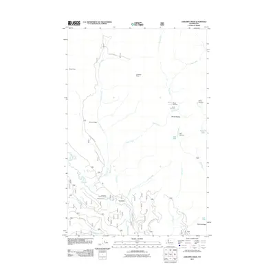
2011 Map of Chikamin Creek
USGS Topo · Published 2011About this map
The Chiwawa River and Mad River define this high-altitude landscape in Chelan County, where the 2011 survey reveals an intricate network of forest development roads and primitive trails. Access to the backcountry is anchored by several established sites, including Huckleberry Ford Campground and Grouse Creek Campground in the south, while higher elevations are marked by remote basins like Mad Meadow and Marble Meadow. This environment is shaped by prominent ridges, most notably Chikamin Ridge and McDonald Ridge, which separate the various creek drainages. High-country landmarks such as Basalt Peak and Two Little Lakes provide orientation for those navigating the upper reaches of Marble Creek and Chikamin Creek, showcasing a wilderness area maintained for forest management and recreation.
Find a feature on this map
35 named features on this map. Tap any name to fly to it.
Don’t see what you’re looking for? This feature index may not catch every label — zoom into the map to look around manually.
Map Details
Editions of this 2011 Chikamin Creek Map
This is the sole edition of this map. No revisions or reprints were ever made.
Other maps of this area

1901 · Chiwaukum
USGS Topo · 1:125,000

1902 · Stehekin
USGS Topo · 1:125,000

1904 · Stehekin
USGS Topo · 1:125,000

1904 · Chiwaukum
USGS Topo · 1:125,000

1944 · Holden
USGS Topo · 1:62,500

1944 · Lucerne
USGS Topo · 1:62,500

1949 · Lucerne
USGS Topo · 1:62,500

1949 · Holden
USGS Topo · 1:62,500

1955 · Concrete
USGS Topo · 1:250,000

1957 · Wenatchee
USGS Topo · 1:250,000