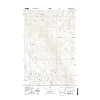
2014 Map of Chikamin Creek
USGS Topo · Published 2014About this map
Wenatchee National Forest encompasses this high-elevation landscape in the Entiat Mountains, where a complex network of ridges and drainage basins defines the terrain. The Chikamin Ridge runs centrally through the quadrangle, serving as a significant topographical spine between the Chikamin Creek and Marble Creek watersheds. The map details a primitive infrastructure suited for backcountry access, including the Chikamin Ridge Rd and Meadow Creek Rd. Water is a defining element of the area, from the larger Chiwawa River on the western edge to high-mountain basins containing Mad Lake, Devil Lake, and the Two Little Lakes. Historical points of interest for navigation and recreation include Huckleberry Ford and Grouse Camp, indicating long-standing routes through these forest lands.
Find a feature on this map
36 named features on this map. Tap any name to fly to it.
Don’t see what you’re looking for? This feature index may not catch every label — zoom into the map to look around manually.
Map Details
Editions of this 2014 Chikamin Creek Map
This is the sole edition of this map. No revisions or reprints were ever made.
Other maps of this area

1901 · Chiwaukum
USGS Topo · 1:125,000

1902 · Stehekin
USGS Topo · 1:125,000

1904 · Stehekin
USGS Topo · 1:125,000

1904 · Chiwaukum
USGS Topo · 1:125,000

1944 · Holden
USGS Topo · 1:62,500

1944 · Lucerne
USGS Topo · 1:62,500

1949 · Lucerne
USGS Topo · 1:62,500

1949 · Holden
USGS Topo · 1:62,500

1955 · Concrete
USGS Topo · 1:250,000

1957 · Wenatchee
USGS Topo · 1:250,000