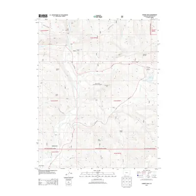
2013 Map of Chimney Rock
USGS Topo · Published 2013About this map
Piedra and Stollsteimer serve as the primary human touchpoints in this rugged section of the San Juan National Forest. The landscape is dominated by significant elevation changes, ranging from the depths of Cabezon Canyon and Deep Canyon to the heights of Haystack Mountain. Central to the geography is the namesake Chimney Rock landmark, situated above the winding path of Stollsteimer Cr. The area is a hub for high-altitude recreation, evidenced by several established sites including the Lower Piedra Campground, Navajo Trail Campground, and Capote Campground. Water resources are vital to this terrain, with the Piedra River and Devil Cr cutting through the gulches, while Capote Lake and Pargin Reservoir provide managed water storage along the path of State Hwy 151.
Find a feature on this map
34 named features on this map. Tap any name to fly to it.
Don’t see what you’re looking for? This feature index may not catch every label — zoom into the map to look around manually.
Map Details
Editions of this 2013 Chimney Rock Map
This is the sole edition of this map. No revisions or reprints were ever made.
Other maps of this area
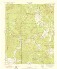
1924 · Pagosa Springs
USGS Topo · 1:125,000
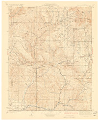
1927 · Pagosa Springs
USGS Topo · 1:125,000

1945 · Durango
USGS Topo · 1:250,000
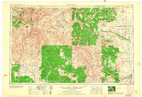
1953 · Durango
USGS Topo · 1:250,000
1954 · Durango
USGS Topo · 1:250,000
1954 · Allison
USGS Topo · 1:24,000
1954 · Carracas
USGS Topo · 1:24,000
1957 · Pagosa Junction
USGS Topo · 1:62,500
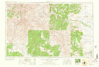
1961 · Durango
USGS Topo · 1:250,000
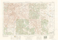
1963 · Durango
USGS Topo · 1:250,000