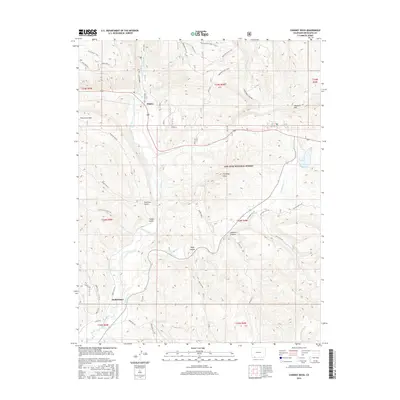
2016 Map of Chimney Rock
USGS Topo · Published 2016About this map
Piedra and the settlement of Stollsteimer anchor this reach of the southern Colorado high country, where the Piedra River meets a network of vital seasonal drainages. The landscape is dominated by the San Juan National Forest, featuring the distinctive spire of Chimney Rock and the high elevation of Haystack Mtn. This terrain is deeply etched by water, with Devil Cr, Stollsteimer Cr, and Turkey Cr carving paths through Cabezon Canyon and Peterson Gulch. This 2016 survey illustrates the balance between preservation and transit, documenting modern infrastructure like Indian Rte 167 alongside traditional landmarks such as Capote Lake and the open expanses of Washington Flats. The presence of numerous named gulches and trails, including the Mule Mountain Trail, suggests a topography that has long dictated movement through the Archuleta County corridor.
Find a feature on this map
33 named features on this map. Tap any name to fly to it.
Don’t see what you’re looking for? This feature index may not catch every label — zoom into the map to look around manually.
Map Details
Editions of this 2016 Chimney Rock Map
This is the sole edition of this map. No revisions or reprints were ever made.
Other maps of this area
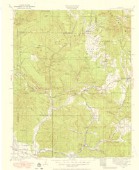
1924 · Pagosa Springs
USGS Topo · 1:125,000
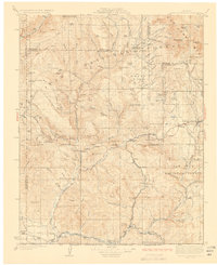
1927 · Pagosa Springs
USGS Topo · 1:125,000

1945 · Durango
USGS Topo · 1:250,000
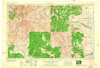
1953 · Durango
USGS Topo · 1:250,000
1954 · Durango
USGS Topo · 1:250,000
1954 · Allison
USGS Topo · 1:24,000
1954 · Carracas
USGS Topo · 1:24,000
1957 · Pagosa Junction
USGS Topo · 1:62,500
1961 · Durango
USGS Topo · 1:250,000
1963 · Durango
USGS Topo · 1:250,000