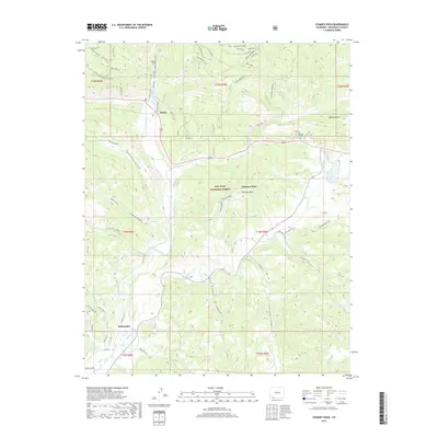
2019 Map of Chimney Rock
USGS Topo · Published 2019About this map
The Chimney Rock landscape, characterized by the striking geological features within the San Juan National Forest, centers on the high-elevation terrain of Archuleta County. The presence of the Great House landmark near the namesake formation underscores the area's significance as a cultural and historical site. The Piedra River and its various tributaries, including Stollsteimer Cr and Yellowjacket Cr, dictate the movement through these canyons and gulches. Small settlements such as Piedra and Stollsteimer are positioned along the primary transit corridors that wind past Capote Lake. The complex topography is further defined by a series of notches and mountain peaks, such as Mule Mountain and Devil Mtn, which created natural gateways and barriers for early travelers and land managers in the southwestern Colorado high country.
Find a feature on this map
57 named features on this map. Tap any name to fly to it.
Don’t see what you’re looking for? This feature index may not catch every label — zoom into the map to look around manually.
Map Details
Editions of this 2019 Chimney Rock Map
This is the sole edition of this map. No revisions or reprints were ever made.
Other maps of this area

1924 · Pagosa Springs
USGS Topo · 1:125,000

1927 · Pagosa Springs
USGS Topo · 1:125,000

1945 · Durango
USGS Topo · 1:250,000

1953 · Durango
USGS Topo · 1:250,000

1954 · Durango
USGS Topo · 1:250,000

1954 · Allison
USGS Topo · 1:24,000

1954 · Carracas
USGS Topo · 1:24,000

1957 · Pagosa Junction
USGS Topo · 1:62,500

1961 · Durango
USGS Topo · 1:250,000

1963 · Durango
USGS Topo · 1:250,000