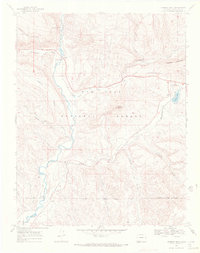
1968 Map of Chimney Rock
USGS Topo · Published 1972About this map
The Piedra River flows southward through this corner of Archuleta County, creating a valley flanked by the complex geography of the San Juan National Forest. Near the confluence of Devil Creek and the main river, the small settlement of Piedra and a nearby Gaging Sta mark a transition between the northern canyonlands and the southern plains. High ground is defined by distinctive landmarks such as Chimney Rock and Haystack Mountain, with the former giving its name to the historic Chimney Rock Reservoir.
Find a feature on this map
35 named features on this map. Tap any name to fly to it.
Don’t see what you’re looking for? This feature index may not catch every label — zoom into the map to look around manually.
Map Details
Editions of this 1968 Chimney Rock Map
This is the sole edition of this map. No revisions or reprints were ever made.
Other maps of this area

1924 · Pagosa Springs
USGS Topo · 1:125,000

1927 · Pagosa Springs
USGS Topo · 1:125,000

1945 · Durango
USGS Topo · 1:250,000

1953 · Durango
USGS Topo · 1:250,000

1954 · Durango
USGS Topo · 1:250,000

1954 · Allison
USGS Topo · 1:24,000

1954 · Carracas
USGS Topo · 1:24,000

1957 · Pagosa Junction
USGS Topo · 1:62,500

1961 · Durango
USGS Topo · 1:250,000

1963 · Durango
USGS Topo · 1:250,000