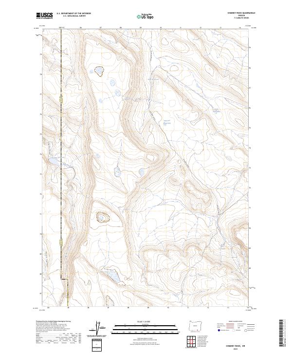
2023 Map of Chimney Rock
USGS Topo · Published 2023About this map
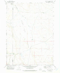
The boundary between Lake Co and Harney Co runs north-to-south through this high-desert landscape in southeastern Oregon. Water management is the defining human footprint here, visible in the naming of ephemeral sources and man-made catchments across the drainage basins of Sage-Hen Creek. Named features like Mud Pot Waterhole, Twin Reservoirs, and Spalding Reservoir indicate the vital importance of seasonal water storage for rangeland utility. The terrain is carved by deep cuts like Sage-Hen Canyon and Rocky Canyon, where the seasonal flow from Horse Spring and Corral Spring feeds into the larger watershed. Buckaroo Pass Rd serves as the primary artery through this portion of the high country, connecting remote reaches of the townships where the landscape transitions between steep canyon walls and elevated flats.
Find a feature on this map
18 named features on this map. Tap any name to fly to it.
Don’t see what you’re looking for? This feature index may not catch every label — zoom into the map to look around manually.
Map Details
Editions of this 2023 Chimney Rock Map
This is the sole edition of this map. No revisions or reprints were ever made.
Other maps of this area

1955 · Adel
USGS Topo · 1:250,000

1957 · Adel
USGS Topo · 1:250,000

1958 · Adel
USGS Topo · 1:250,000

1962 · Adel
USGS Topo · 1:250,000
1971 · Acty Mountain NW
USGS Topo · 1:24,000

1971 · Surveyors Lake
USGS Topo · 1:24,000

1971 · Mahogany Butte
USGS Topo · 1:24,000
1971 · Acty Mountain
USGS Topo · 1:24,000
1971 · Rocky Canyon
USGS Topo · 1:24,000
1971 · Sage Hen Flats
USGS Topo · 1:24,000