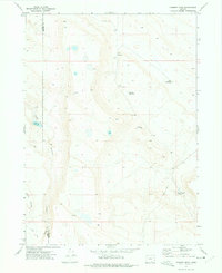
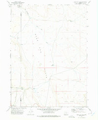
1971 Map of Chimney Rock
USGS Topo · Published 1975About this map
Chimney Rock stands as a prominent landmark in this high-desert landscape, situated along the county line between Lake Co and Harney Co. The 1971 aerial survey reveals a terrain defined by sparse water sources and ranching infrastructure, where life depends on localized features like South Corral Spring and Lake Waterhole. Settlement is limited to the remote Spalding area, with the nearby Spalding Reservoir and Twin Reservoirs providing critical water management for the arid surroundings. This map illustrates the intersection of natural drainage and human effort, as seen in the steep descents of Sage Hen Canyon and Rocky Canyon. The presence of numerous named waterholes, such as Mud Pot Waterhole, suggests the specialized local knowledge required to navigate and utilize this remote interior of Oregon during the early 1970s.
Find a feature on this map
13 named features on this map. Tap any name to fly to it.
Don’t see what you’re looking for? This feature index may not catch every label — zoom into the map to look around manually.
Map Details
Editions of this 1971 Chimney Rock Map
This is the sole edition of this map. No revisions or reprints were ever made.
Other maps of this area

1955 · Adel
USGS Topo · 1:250,000

1957 · Adel
USGS Topo · 1:250,000

1958 · Adel
USGS Topo · 1:250,000

1962 · Adel
USGS Topo · 1:250,000
1971 · Acty Mountain NW
USGS Topo · 1:24,000

1971 · Surveyors Lake
USGS Topo · 1:24,000

1971 · Mahogany Butte
USGS Topo · 1:24,000
1971 · Acty Mountain
USGS Topo · 1:24,000
1971 · Rocky Canyon
USGS Topo · 1:24,000
1971 · Sage Hen Flats
USGS Topo · 1:24,000