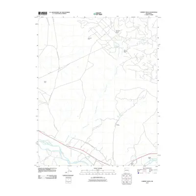
2010 Map of Chimney Rock
USGS Topo · Published 2010About this map
Jewett Valley and the Hogback Trading Post anchor the southeastern corner of this high-desert landscape, where the San Juan River flows through the San Juan Basin. The map details a sophisticated network of water management essential to this arid region, including the Hogback Canal A Line and the Hogback Irrigation Canal B Lin, which parallel the river's course. Local industry is represented by the Agency Coal Mine, situated along Coal Mine Creek near the center of the sheet. Rising from the surrounding terrain, Chimney Rock serves as a prominent natural landmark north of the Sand Hills. A web of Indian Service Routes, such as Indian Service Route 5031 and Indian Service Route 38, connects the various arroyos and draws, including Eagle Nest Arroyo and Burnt Squash Draw, reflecting the specialized infrastructure of the Shiprock Agency area.
Find a feature on this map
20 named features on this map. Tap any name to fly to it.
Don’t see what you’re looking for? This feature index may not catch every label — zoom into the map to look around manually.
Map Details
Editions of this 2010 Chimney Rock Map
This is the sole edition of this map. No revisions or reprints were ever made.
Other maps of this area

1889 · Chaco
USGS Topo · 1:250,000

1892 · Chaco
USGS Topo · 1:250,000

1927 · Sulphur Spring
USGS Topo · 1:96,000

1928 · Kirtland
USGS Topo · 1:125,000

1932 · Kirtland
USGS Topo · 1:125,000

1934 · Chimney Rock
USGS Topo · 1:62,500

1936 · Chimney Rock
USGS Topo · 1:62,500

1954 · Shiprock
USGS Topo · 1:250,000

1958 · Shiprock
USGS Topo · 1:250,000

1959 · Shiprock
USGS Topo · 1:250,000