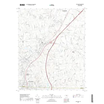
2019 Map of China Grove
USGS Topo · Published 2019About this map
China Grove and the neighboring industrial corridor of Landis and Kannapolis define the central axis of this Piedmont landscape. Following the Ncrr rail line, these settlements reveal a dense pattern of residential development and community landmarks, including the West-Lawn Memorial Park and Mount Moriah Church. The transition from the urbanized southwest to the more open terrain of Bostian Heights is marked by the presence of local aviation sites like Sloop Airport and Wilhelm Airport, which serve the area's rural-suburban fringe.
Find a feature on this map
290 named features on this map. Tap any name to fly to it.
Don’t see what you’re looking for? This feature index may not catch every label — zoom into the map to look around manually.
Map Details
Editions of this 2019 China Grove Map
This is the sole edition of this map. No revisions or reprints were ever made.
Other maps of this area

1893 · Statesville
USGS Topo · 1:125,000

1941 · Charlotte
USGS Topo · 1:125,000

1942 · Charlotte
USGS Topo · 1:125,000

1949 · Kannapolis
USGS Topo · 1:24,000

1950 · Concord
USGS Topo · 1:24,000

1953 · Charlotte
USGS Topo · 1:250,000

1954 · Charlotte
USGS Topo · 1:250,000

1957 · Mount Pleasant
USGS Topo · 1:62,500

1960 · Charlotte
USGS Topo · 1:250,000

1962 · Charlotte
USGS Topo · 1:250,000