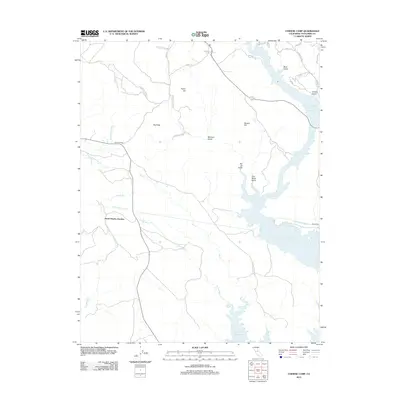
2012 Map of Chinese Camp
USGS Topo · Published 2012About this map
Don Pedro Reservoir dominates the eastern landscape of this Tuolumne County region, its expansive waters filling the deep canyons and gulches of the Sierra foothills. The map reveals a transition from these water-bound lowlands to the elevated terrain of the Red Hills and Taylor Hill. Vital infrastructure is prominent throughout the quadrangle, notably the Hetch Hetchy Aqueduct as it moves westward.
Find a feature on this map
35 named features on this map. Tap any name to fly to it.
Don’t see what you’re looking for? This feature index may not catch every label — zoom into the map to look around manually.
Map Details
Editions of this 2012 Chinese Camp Map
This is the sole edition of this map. No revisions or reprints were ever made.
Other maps of this area

1893 · Sonora
USGS Topo · 1:125,000

1896 · Sonora
USGS Topo · 1:125,000

1897 · Sonora
USGS Topo · 1:125,000

1898 · Sonora
USGS Topo · 1:125,000

1915 · La Grange
USGS Topo · 1:24,000

1916 · Cooperstown
USGS Topo · 1:31,680

1916 · Copperopolis
USGS Topo · 1:62,500

1919 · La Grange
USGS Topo · 1:31,680

1942 · Copperopolis
USGS Topo · 1:62,500

1944 · Merced Falls
USGS Topo · 1:62,500