
1919 Map of La Grange
USGS Topo · Published 1919About this map
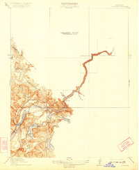
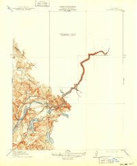
La Grange Dam and the winding Tuolumne River anchor this preliminary 1915 survey of the California gold country foothills. This map illustrates the early hydraulic engineering critical to the region's agricultural development, featuring the Modesto Ditch and Turlock Ditch as they draw from the river to feed the Central Valley. The settlement of La Grange sits at the center of a landscape defined by rugged drainages such as Gasburg Gulch, Mill Gulch, and Snake Ravine. To the north, the Tuolumne Co - Stanislaus Co boundary line cuts through the terrain near Dry Creek. Local life is marked by the presence of the Live Oak School and the prominent Indian Hill, while water bodies like Dawson Lake and McDonald Creek illustrate the natural drainage system before the more extensive modern reservoir system was fully realized.
Find a feature on this map
20 named features on this map. Tap any name to fly to it.
Don’t see what you’re looking for? This feature index may not catch every label — zoom into the map to look around manually.
Map Details
Editions of this 1919 La Grange Map
3 editions found
Other maps of this area

1893 · Sonora
USGS Topo · 1:125,000

1896 · Sonora
USGS Topo · 1:125,000

1897 · Sonora
USGS Topo · 1:125,000

1898 · Sonora
USGS Topo · 1:125,000

1913 · Dickenson
USGS Topo · 1:31,680

1915 · La Grange
USGS Topo · 1:24,000

1916 · Three Tree Flat
USGS Topo · 1:31,680

1916 · Cooperstown
USGS Topo · 1:31,680

1916 · Copperopolis
USGS Topo · 1:62,500

1916 · Merced Falls
USGS Topo · 1:24,000