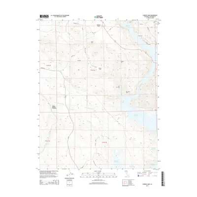
2015 Map of Chinese Camp
USGS Topo · Published 2015About this map
Chinese Camp remains the primary settlement on this landscape, set against the complex terrain of the Red Hills and Taylor Hill. The map documents a critical intersection of water infrastructure and gold-rush era nomenclature, where the modern Don Pedro Reservoir fills the eastern gulches. Vital utility corridors are visible, notably the Hetch Hetchy Aqueduct which traverses the center of the sheet towards Hetch Hetchy Junction. The geography is defined by numerous drainage systems including Big Creek, Andrew Creek, and the North Fork of Dry Creek. Local history is embedded in the road network and terrain labels, with names like Mammoth Mine Road and Six-bit Gulch hinting at the area's mining heritage. From Hungry Hill to the shores of the reservoir, the map captures the transition between historic foothill outposts and large-scale water management projects.
Find a feature on this map
37 named features on this map. Tap any name to fly to it.
Don’t see what you’re looking for? This feature index may not catch every label — zoom into the map to look around manually.
Map Details
Editions of this 2015 Chinese Camp Map
This is the sole edition of this map. No revisions or reprints were ever made.
Other maps of this area

1893 · Sonora
USGS Topo · 1:125,000

1896 · Sonora
USGS Topo · 1:125,000

1897 · Sonora
USGS Topo · 1:125,000

1898 · Sonora
USGS Topo · 1:125,000

1915 · La Grange
USGS Topo · 1:24,000

1916 · Cooperstown
USGS Topo · 1:31,680

1916 · Copperopolis
USGS Topo · 1:62,500

1919 · La Grange
USGS Topo · 1:31,680

1942 · Copperopolis
USGS Topo · 1:62,500

1944 · Merced Falls
USGS Topo · 1:62,500