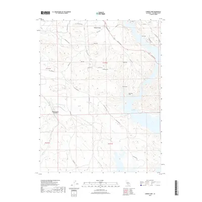
2018 Map of Chinese Camp
USGS Topo · Published 2018About this map
Chinese Camp and the surrounding high country of Tuolumne County are defined by a complex landscape of water management and historical extraction. The massive Don Pedro Reservoir dominates the eastern and southern sections of the quadrangle, with its fingers reaching into drainages like Blue Gulch and Poor Mans Gulch. Critical infrastructure is represented by the Hetch Hetchy Aqueduct, which cuts across the terrain near Hetch Hetchy Junction. The local topography is marked by named heights including Taylor Hill, Hungry Hill, and the Red Hills, while the history of mining is etched into the road network with routes like Mammoth Mine Rd and the presence of the Brown Adit. This 2018 survey provides a precise look at how modern reservoirs and utility corridors have reshaped the Mother Lode region's traditional mining and ranching geography.
Find a feature on this map
35 named features on this map. Tap any name to fly to it.
Don’t see what you’re looking for? This feature index may not catch every label — zoom into the map to look around manually.
Map Details
Editions of this 2018 Chinese Camp Map
This is the sole edition of this map. No revisions or reprints were ever made.
Other maps of this area

1893 · Sonora
USGS Topo · 1:125,000

1896 · Sonora
USGS Topo · 1:125,000

1897 · Sonora
USGS Topo · 1:125,000

1898 · Sonora
USGS Topo · 1:125,000

1915 · La Grange
USGS Topo · 1:24,000

1916 · Cooperstown
USGS Topo · 1:31,680

1916 · Copperopolis
USGS Topo · 1:62,500

1919 · La Grange
USGS Topo · 1:31,680

1942 · Copperopolis
USGS Topo · 1:62,500

1944 · Merced Falls
USGS Topo · 1:62,500