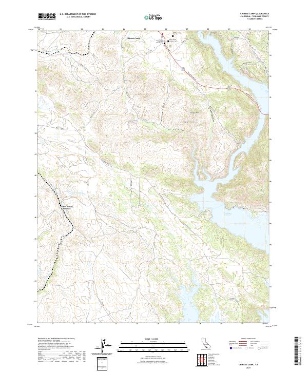
2021 Map of Chinese Camp
USGS Topo · Published 2021About this map
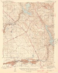
Chinese Camp serves as the focal point for this Tuolumne County survey, revealing a landscape deeply marked by its mining heritage and modern water management. The town is flanked by historic burial grounds, including the Chinese Camp City Cem, the Chinese Camp Odd Fellows Cem, and the Saint Xavier Catholic Cem, suggesting the diverse community that once anchored this gold-country outpost. To the south, the massive Don Pedro Reservoir dominates the drainage of Big Creek, while the Hetch Hetchy Aqueduct cuts across the terrain toward Hetch Hetchy Junction. The nomenclature of the surrounding hills and canyons, such as Six-bit Gulch, Poor Mans Gulch, and Mammoth Mine Rd, reflects the 19th-century search for mineral wealth within the serpentine ridges of the Red Hills.
Find a feature on this map
45 named features on this map. Tap any name to fly to it.
Don’t see what you’re looking for? This feature index may not catch every label — zoom into the map to look around manually.
Map Details
Editions of this 2021 Chinese Camp Map
This is the sole edition of this map. No revisions or reprints were ever made.
Other maps of this area

1893 · Sonora
USGS Topo · 1:125,000

1896 · Sonora
USGS Topo · 1:125,000

1897 · Sonora
USGS Topo · 1:125,000

1898 · Sonora
USGS Topo · 1:125,000

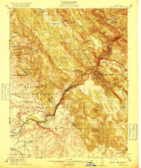
1915 · La Grange
USGS Topo · 1:24,000

1916 · Cooperstown
USGS Topo · 1:31,680
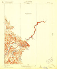
1916 · Copperopolis
USGS Topo · 1:62,500
1919 · La Grange
USGS Topo · 1:31,680
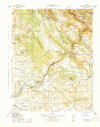
1942 · Copperopolis
USGS Topo · 1:62,500
1944 · Merced Falls
USGS Topo · 1:62,500