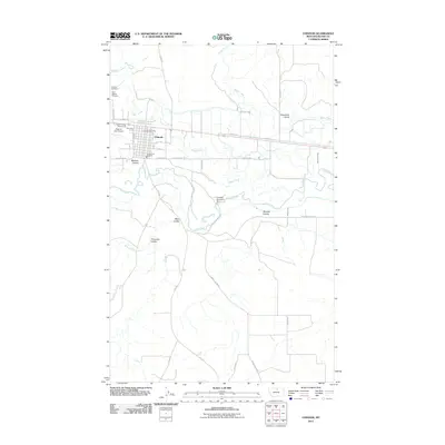
2011 Map of Chinook
USGS Topo · Published 2011About this map
Chinook serves as the primary hub of activity in this northern Montana landscape, situated near the meandering path of the Milk River. The town layout is defined by a grid of streets including Montana St and 9th St, supported by essential local infrastructure like the Chinook Post Office and the Chinook Vol Fire Dept. Outside the residential core, the map reveals a community deeply connected to its agricultural and civic roots, featuring the Blaine County Fairgrounds and the Edgar G Obie Airport.
Find a feature on this map
39 named features on this map. Tap any name to fly to it.
Don’t see what you’re looking for? This feature index may not catch every label — zoom into the map to look around manually.
Map Details
Editions of this 2011 Chinook Map
This is the sole edition of this map. No revisions or reprints were ever made.
Other maps of this area

1904 · Yantic
USGS Topo · 1:62,500

1904 · Chinook
USGS Topo · 1:62,500

1912 · Zurich
USGS Topo · 1:125,000

1953 · Havre
USGS Topo · 1:250,000

1956 · Lloyd
USGS Topo · 1:62,500

1956 · Cleveland
USGS Topo · 1:62,500

1957 · Havre
USGS Topo · 1:250,000

1958 · Havre
USGS Topo · 1:250,000

1964 · Rabbit Hills
USGS Topo · 1:24,000

1964 · Telescope Coulee
USGS Topo · 1:24,000