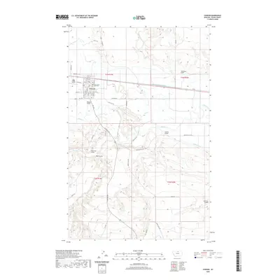
2020 Map of Chinook
USGS Topo · Published 2020About this map
Chinook serves as the focal point for this area of north-central Montana, where the Milk River and its intricate system of irrigation ditches and canals sustain the local landscape. The town site is clearly organized around its legal and transportation infrastructure, featuring the Blaine County Courthouse and the Edgar G Obie Airport. The surrounding terrain is characterized by a series of named coulees, including Redrock Coulee and Sixmile Coulee, which carve through the high plains.
Find a feature on this map
55 named features on this map. Tap any name to fly to it.
Don’t see what you’re looking for? This feature index may not catch every label — zoom into the map to look around manually.
Map Details
Editions of this 2020 Chinook Map
This is the sole edition of this map. No revisions or reprints were ever made.
Other maps of this area

1904 · Yantic
USGS Topo · 1:62,500

1904 · Chinook
USGS Topo · 1:62,500

1912 · Zurich
USGS Topo · 1:125,000

1953 · Havre
USGS Topo · 1:250,000

1956 · Lloyd
USGS Topo · 1:62,500

1956 · Cleveland
USGS Topo · 1:62,500

1957 · Havre
USGS Topo · 1:250,000

1958 · Havre
USGS Topo · 1:250,000

1964 · Rabbit Hills
USGS Topo · 1:24,000

1964 · Telescope Coulee
USGS Topo · 1:24,000