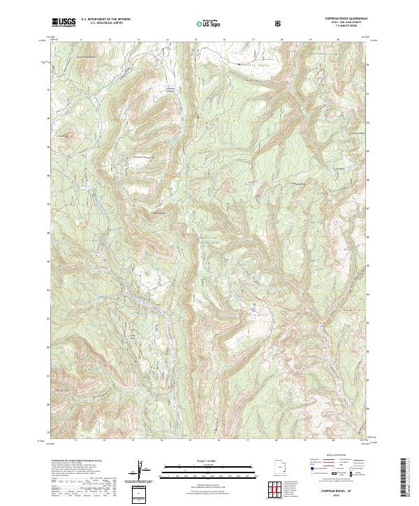
2023 Map of Chippean Rocks
USGS Topo · Published 2023About this map
Mormon Pasture and Horse Flat lie at the heart of this high-elevation landscape within the Manti-La Sal National Forest. This modern 2023 survey illustrates a complex network of plateaus and drainages, defined by dramatic features like The Causeway and Reef of Rocks. The terrain is deeply incised by Cottonwood Creek and Chippean Canyon, creating a topography where travel is restricted to established routes like the Chippean Canyon Trail (452) Trl and the Starvation Point Trl.
Find a feature on this map
32 named features on this map. Tap any name to fly to it.
Don’t see what you’re looking for? This feature index may not catch every label — zoom into the map to look around manually.
Map Details
Editions of this 2023 Chippean Rocks Map
This is the sole edition of this map. No revisions or reprints were ever made.
Other maps of this area

1886 · Abajo
USGS Topo · 1:250,000

1892 · Abajo
USGS Topo · 1:250,000

1893 · Abajo
USGS Topo · 1:250,000

1935 · Elk Ridge
USGS Topo · 1:96,000

1940 · Elk Ridge
USGS Topo · 1:125,000

1954 · Elk Ridge 4 NW
USGS Topo · 1:24,000

1954 · Elk Ridge 1 SW
USGS Topo · 1:24,000

1954 · Elk Ridge 2 SE
USGS Topo · 1:24,000

1954 · Elk Ridge 1 NW
USGS Topo · 1:24,000

1954 · Elk Ridge 1 NE
USGS Topo · 1:24,000