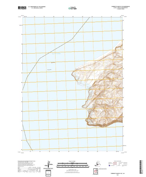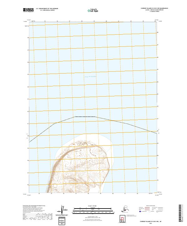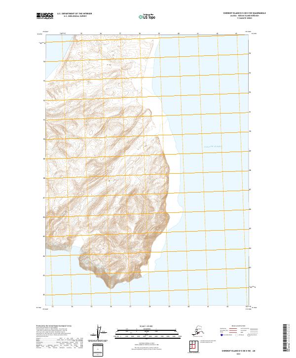
2021 Map of Chirikof Island D-5 OE E SW
USGS Topo · Published 2021About this map
Gulf of Alaska waters meet the eastern shore of a remote island landmass in this 2021 study of the Kodiak Island Borough. The landscape is defined by tight topographic contouring that indicates significant elevation changes rising directly from the coastline. The survey includes critical land management data, specifically the grid lines for Township 50 South, Range 41 West and Township 51 South, Range 41 West, providing a modern record of the terrestrial and maritime interface in this subarctic environment.
Find a feature on this map
5 named features on this map. Tap any name to fly to it.
Don’t see what you’re looking for? This feature index may not catch every label — zoom into the map to look around manually.
Map Details
Editions of this 2021 Chirikof Island D-5 OE E SW Map
This is the sole edition of this map. No revisions or reprints were ever made.