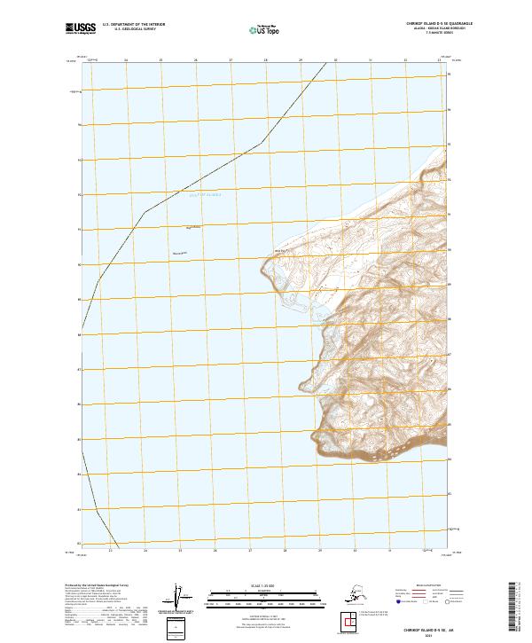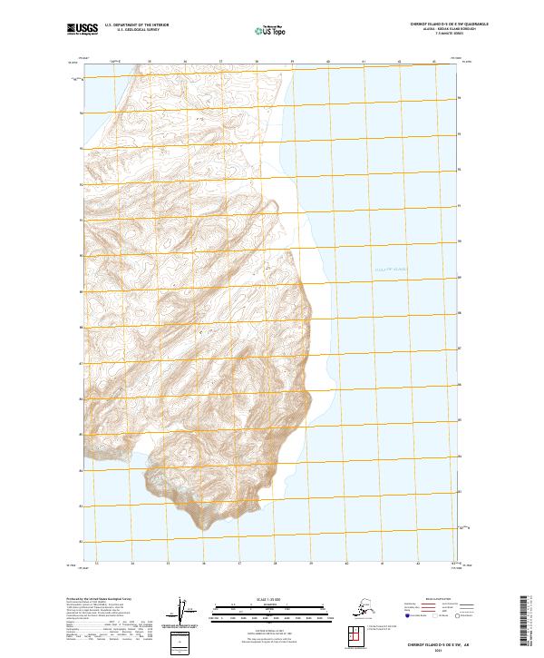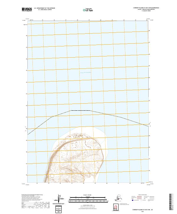
2021 Map of Chirikof Island D-5 OE E NW
USGS Topo · Published 2021About this map
The northern reaches of Chirikof Island meet the Gulf of Alaska in this 2021 survey, providing a precise look at the remote topography of Kodiak Island Borough. The landscape is defined by its isolation, with the shoreline of the island extending into the southern half of the sheet. Surveyed within the Public Land Survey System as T49s R41w, T50s R41w, and T50s R42w, the map highlights the intricate contouring of the island's interior against the expansive surrounding waters. This modern data from the National Geospatial Program provides essential detail for navigating the transition from land to sea in a region devoid of roads or permanent settlements.
Find a feature on this map
4 named features on this map. Tap any name to fly to it.
Don’t see what you’re looking for? This feature index may not catch every label — zoom into the map to look around manually.
Map Details
Editions of this 2021 Chirikof Island D-5 OE E NW Map
This is the sole edition of this map. No revisions or reprints were ever made.