
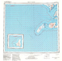
1954 Map of Trinity Islands
USGS Topo · Published 1956About this map
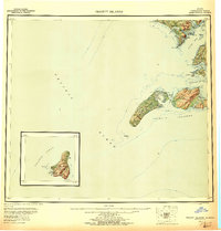
Kodiak Island and its southern outliers are documented in this mid-century maritime study, emphasizing the complex coastline of the Trinity Islands. The settlement of Akhiok stands as a focal point near Alitak Bay, while the expansive Tugidak Island and Sitkinak Island dominate the southern waters. Topographic details like Sitkinak Dome and Tungulara Mountain provide landmark elevations for navigators, complemented by numerous coastal features such as Sukhoi Lagoon and Russian Harbor. The map's inclusion of Chirikof Island as a detailed inset highlights its remote position in the Pacific Ocean, far south of the primary island chain. This survey captures a moment of active maritime geography, noting features such as Tugidak Passage and the dangerous Breakers that influenced navigation through the Sitkinak Strait.
Find a feature on this map
34 named features on this map. Tap any name to fly to it.
Don’t see what you’re looking for? This feature index may not catch every label — zoom into the map to look around manually.
Map Details
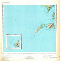
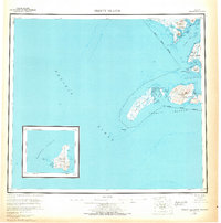
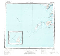
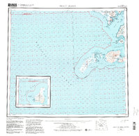
Editions of this 1954 Trinity Islands Map
7 editions found
Other maps of this area

1943 · Ugashik
USGS Topo · 1:250,000

1948 · Ugashik
USGS Topo · 1:250,000

1949 · Ugashik
USGS Topo · 1:250,000

1951 · Kaguyak
USGS Topo · 1:250,000

1951 · Trinity Islands
USGS Topo · 1:250,000

1951 · Karluk
USGS Topo · 1:250,000

1951 · Sutwik Island
USGS Topo · 1:250,000

1952 · Kodiak
USGS Topo · 1:250,000

1952 · Kaguyak
USGS Topo · 1:250,000

1952 · Karluk
USGS Topo · 1:250,000