
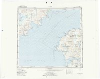
1952 Map of Karluk
USGS Topo · Published 1957About this map
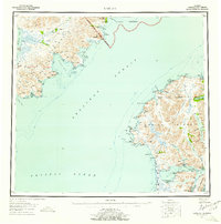
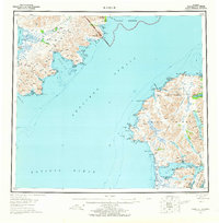
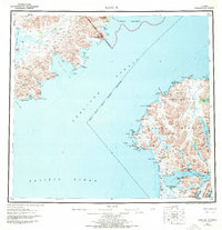
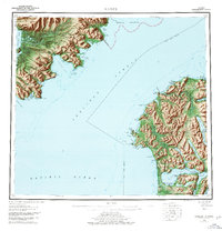
Shelikof Strait separates the southwestern tip of Kodiak Island from the Alaska Peninsula in this mid-century topographic record. The landscape is defined by the maritime and inland resources of the North Pacific, where the settlement of Karluk serves as a hub near the Karluk Anchorage. Industrial and transportation markers of the era are clearly visible, including a Cannery on the coast, an Oil Well near Kanatak, and a Seaplane Airport providing vital access to this territory.
Find a feature on this map
96 named features on this map. Tap any name to fly to it.
Don’t see what you’re looking for? This feature index may not catch every label — zoom into the map to look around manually.
Map Details
Editions of this 1952 Karluk Map
7 editions found
Other maps of this area

1943 · Ugashik
USGS Topo · 1:250,000

1948 · Mt Katmai
USGS Topo · 1:250,000

1948 · Ugashik
USGS Topo · 1:250,000

1949 · Ugashik
USGS Topo · 1:250,000

1951 · Kaguyak
USGS Topo · 1:250,000

1951 · Trinity Islands
USGS Topo · 1:250,000

1951 · Mt Katmai
USGS Topo · 1:250,000

1951 · Karluk
USGS Topo · 1:250,000

1951 · Sutwik Island
USGS Topo · 1:250,000

1951 · Mount Katmai A-3
USGS Topo · 1:63,360