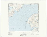
1952 Map of Karluk
USGS Topo · Published 1978About this map
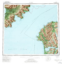
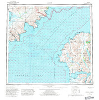
Kodiak Island and the rugged coastal reaches of the Alaska Peninsula face each other across the deep waters of Shelikof Strait in this early 1950s survey. The landscape is defined by its isolation and the critical intersection of maritime and interior environments, where the Karluk River flows into the Karluk Lagoon. Settlement is sparse, anchored by the village of Karluk and the remote outpost at Ayakulik. The map documents the early infrastructure of the region, including the Karluk Landing Strip and a Karluk Seaplane Airport, reflecting the era's total reliance on air and sea travel. Large tracts of the interior are managed under the Kodiak National Wildlife Refuge and Katmai National Monument, highlighting the transition from frontier extraction toward conservation. Remote field locations like the Fish and Wildlife Service Upper Station illustrate the scientific and regulatory presence in these salmon-rich waters.
Find a feature on this map
62 named features on this map. Tap any name to fly to it.
Don’t see what you’re looking for? This feature index may not catch every label — zoom into the map to look around manually.
Map Details
Editions of this 1952 Karluk Map
7 editions found

Other maps of this area

1943 · Ugashik
USGS Topo · 1:250,000

1948 · Mt Katmai
USGS Topo · 1:250,000

1948 · Ugashik
USGS Topo · 1:250,000

1949 · Ugashik
USGS Topo · 1:250,000

1951 · Kaguyak
USGS Topo · 1:250,000

1951 · Trinity Islands
USGS Topo · 1:250,000

1951 · Mt Katmai
USGS Topo · 1:250,000

1951 · Karluk
USGS Topo · 1:250,000

1951 · Sutwik Island
USGS Topo · 1:250,000

1951 · Mount Katmai A-3
USGS Topo · 1:63,360