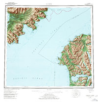
1952 Map of Karluk
USGS Topo · Published 1978About this map
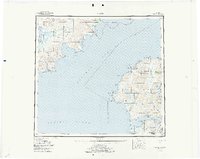
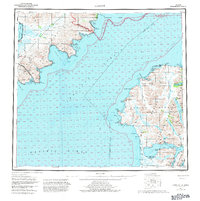
The remote coastlines of Kodiak Island and the Alaska Peninsula meet across the Shelikof Strait in this mid-century survey. On the island's western edge, the village of Karluk sits near the Karluk Anchorage, supported by a local Cannery and Seaplane Airport. The interior reveals a complex system of freshwater bodies including Karluk Lake and Fraser Lake, leading south toward the Fish and Wildlife Service Upper Station near Olga Bay. Across the strait, the mainland portion is dominated by the Katmai National Monument and the massive Becharof Lake. Industrial interests are visible through a lone Oil Well near Kanatak Bay, while coastal navigation is aided by a Light at Cape Uyak. This map captures the area before modern infrastructure, when transit relied heavily on the water and small landing strips.
Find a feature on this map
90 named features on this map. Tap any name to fly to it.
Don’t see what you’re looking for? This feature index may not catch every label — zoom into the map to look around manually.
Map Details
Editions of this 1952 Karluk Map
7 editions found

Other maps of this area

1943 · Ugashik
USGS Topo · 1:250,000

1948 · Mt Katmai
USGS Topo · 1:250,000

1948 · Ugashik
USGS Topo · 1:250,000

1949 · Ugashik
USGS Topo · 1:250,000

1951 · Kaguyak
USGS Topo · 1:250,000

1951 · Trinity Islands
USGS Topo · 1:250,000

1951 · Mt Katmai
USGS Topo · 1:250,000

1951 · Karluk
USGS Topo · 1:250,000

1951 · Sutwik Island
USGS Topo · 1:250,000

1951 · Mount Katmai A-3
USGS Topo · 1:63,360