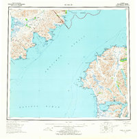
1952 Map of Karluk
USGS Topo · Published 1965About this map
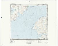
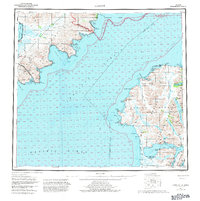
Shelikof Strait divides this mid-century landscape, separating the Alaskan mainland's Katmai National Monument from the western reaches of Kodiak Island. On the island, the settlement of Karluk sits near the Refuge Boundary of the Kodiak National Wildlife Refuge, a region defined by its connection to the sea and the salmon-rich Karluk River. The map documents the industrial and logistical footprint of the era, from a lonely Oil Well near Jute Bay to a Cannery and Seaplane Airport on the shores of Olga Narrows. Across the strait, the mainland terrain is marked by steep peaks like Atmo Mtn and the sweeping shoreline of Puale Bay. This survey captures a specific moment in maritime and conservation history, showing the Fish and Wildlife Service Upper Station alongside numerous coastal cabins that supported local fishing and trapping.
Find a feature on this map
77 named features on this map. Tap any name to fly to it.
Don’t see what you’re looking for? This feature index may not catch every label — zoom into the map to look around manually.
Map Details
Editions of this 1952 Karluk Map
7 editions found

Other maps of this area

1943 · Ugashik
USGS Topo · 1:250,000

1948 · Mt Katmai
USGS Topo · 1:250,000

1948 · Ugashik
USGS Topo · 1:250,000

1949 · Ugashik
USGS Topo · 1:250,000

1951 · Kaguyak
USGS Topo · 1:250,000

1951 · Trinity Islands
USGS Topo · 1:250,000

1951 · Mt Katmai
USGS Topo · 1:250,000

1951 · Karluk
USGS Topo · 1:250,000

1951 · Sutwik Island
USGS Topo · 1:250,000

1951 · Mount Katmai A-3
USGS Topo · 1:63,360