
1943 Map of Ugashik
USGS Topo · Published 1958About this map
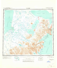
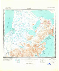
Pilot Point and the remote Lee Cabin anchor this 1943 survey of the Alaska Peninsula, a region defined by the complex transition from the tidal flats of Ugashik Bay to the volcanic peaks of the Aleutian Range. The landscape is dominated by the massive Becharof Lake and the interconnected waters of Upper Ugashik Lake and Lower Ugashik Lake. This map reveals the era's reliance on coastal and river navigation, tracing the winding courses of the Dog Salmon River and King Salmon River as they meander toward the Bristol Bay shoreline. To the southeast, the terrain rises sharply toward Mt Chiginagak and Icy Peak, where the mountains meet the Pacific at Wide Bay. Notable landmarks like The Gas Rocks and Mother Goose Lake suggest the geologically active nature of this wilderness during the mid-twentieth century.
Find a feature on this map
72 named features on this map. Tap any name to fly to it.
Don’t see what you’re looking for? This feature index may not catch every label — zoom into the map to look around manually.
Map Details
Editions of this 1943 Ugashik Map
3 editions found
Other maps of this area

1945 · Nushagak Bay
USGS Topo · 1:250,000

1948 · Mt Katmai
USGS Topo · 1:250,000

1948 · Ugashik
USGS Topo · 1:250,000

1949 · Ugashik
USGS Topo · 1:250,000

1949 · Nushagak Bay
USGS Topo · 1:250,000

1951 · Bristol Bay
USGS Topo · 1:250,000

1951 · Trinity Islands
USGS Topo · 1:250,000

1951 · Mt Katmai
USGS Topo · 1:250,000

1951 · Karluk
USGS Topo · 1:250,000

1951 · Sutwik Island
USGS Topo · 1:250,000