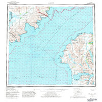
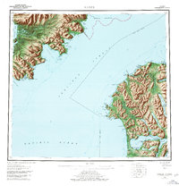
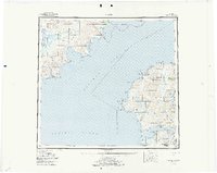
1952 Map of Karluk
USGS Topo · Published 1982About this map
Karluk sits prominently on the western coast of Kodiak Island, overlooking the volatile waters of the Shelikof Strait. This mid-century compilation highlights a region defined by its reliance on the sea, with numerous coastal Cabins and a Cannery situated near Karluk. Across the strait on the Alaska Peninsula, the landscape is marked by the vast Becharof National Wildlife Refuge and Katmai National Park.
Find a feature on this map
94 named features on this map. Tap any name to fly to it.
Don’t see what you’re looking for? This feature index may not catch every label — zoom into the map to look around manually.
Map Details
Editions of this 1952 Karluk Map
7 editions found

Other maps of this area

1943 · Ugashik
USGS Topo · 1:250,000

1948 · Mt Katmai
USGS Topo · 1:250,000

1948 · Ugashik
USGS Topo · 1:250,000

1949 · Ugashik
USGS Topo · 1:250,000

1951 · Kaguyak
USGS Topo · 1:250,000

1951 · Trinity Islands
USGS Topo · 1:250,000

1951 · Mt Katmai
USGS Topo · 1:250,000

1951 · Karluk
USGS Topo · 1:250,000

1951 · Sutwik Island
USGS Topo · 1:250,000

1951 · Mount Katmai A-3
USGS Topo · 1:63,360