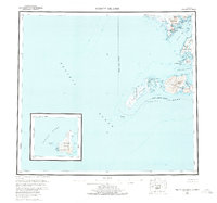
1954 Map of Trinity Islands
USGS Topo · Published 1978About this map
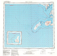
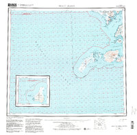
Tugidak Island and Sitkinak Island anchor this coastal survey of the southern Kodiak archipelago. The map reveals a maritime landscape defined by tidal flats and treacherous passages, with the isolated Chirikof Island shown in a detailed inset. On Sitkinak, the prominent Sitkinak Dome rises above Manila Lake, while coastal features like Russian Harbor and Whirlpool Pt reflect the area's navigational history. The northern reaches of the map detail the Aliulik Peninsula and the complex shoreline of Alitak Bay, including Sukhoi Lagoon and Kempff Bay. Small markers for Cabins and a Radio Tower provide rare evidence of human habitation in this maritime environment. This 1950s data, compiled from earlier hydrographic charts and aerial photography, captures the precise contours of the Trinity Islands before significant modern shifts in coastal geomorphology.
Find a feature on this map
49 named features on this map. Tap any name to fly to it.
Don’t see what you’re looking for? This feature index may not catch every label — zoom into the map to look around manually.
Map Details
Editions of this 1954 Trinity Islands Map
7 editions found

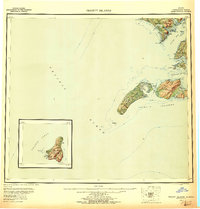
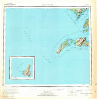
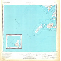
Other maps of this area

1943 · Ugashik
USGS Topo · 1:250,000

1948 · Ugashik
USGS Topo · 1:250,000

1949 · Ugashik
USGS Topo · 1:250,000

1951 · Kaguyak
USGS Topo · 1:250,000

1951 · Trinity Islands
USGS Topo · 1:250,000

1951 · Karluk
USGS Topo · 1:250,000

1951 · Sutwik Island
USGS Topo · 1:250,000

1952 · Kodiak
USGS Topo · 1:250,000

1952 · Kaguyak
USGS Topo · 1:250,000

1952 · Karluk
USGS Topo · 1:250,000