
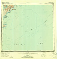
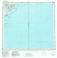
1952 Map of Kaguyak
USGS Topo · Published 1956About this map
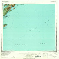
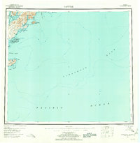
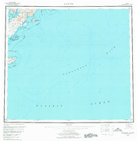
Kodiak Island's southern coastline and the expansive maritime reaches of the Pacific Ocean define this 1950s survey. The landscape is dominated by the complex shoreline of the Kodiak National Wildlife Refuge, featuring deep inlets like Deadman Bay and Alitak Bay. The small settlement of Kaguyak sits on the shore of Kaguyak Bay, representing a rare point of human habitation in a region of high coastal bluffs and offshore islands. To the south, the Trinity Islands group includes Sitkinak Island, separated from the mainland by the Sitkinak Strait. This map provides significant hydrographic detail for the offshore Albatross Bank, showing the underwater topography that was essential for navigating these northern waters. The presence of a solitary Cabin and the naming of remote landmarks like Shag Bluff and Twoheaded Island illustrate the isolated character of the Alaskan coast during this period.
Find a feature on this map
28 named features on this map. Tap any name to fly to it.
Don’t see what you’re looking for? This feature index may not catch every label — zoom into the map to look around manually.
Map Details
Editions of this 1952 Kaguyak Map
6 editions found
Other maps of this area

1949 · Kodiak A-3
USGS Topo · 1:63,360

1950 · Kodiak A-3
USGS Topo · 1:63,360

1951 · Kaguyak
USGS Topo · 1:250,000

1951 · Trinity Islands
USGS Topo · 1:250,000

1951 · Karluk
USGS Topo · 1:250,000

1952 · Kodiak
USGS Topo · 1:250,000

1952 · Karluk
USGS Topo · 1:250,000

1952 · Kaguyak D-5
USGS Topo · 1:63,360

1952 · Trinity Islands D-1
USGS Topo · 1:63,360

1952 · Karluk A-1
USGS Topo · 1:63,360