
1952 Map of Karluk A-1
USGS Topo · Published 1972About this map
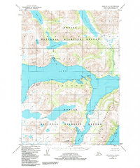
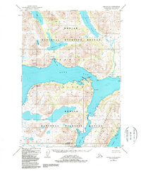
Kodiak Island is defined by its deeply indented shoreline and glacial lake systems in this mid-century survey. The central Olga Bay dominates the landscape, connected to the outer waters via the Olga Narrows. Commercial activity is centered on a Cannery at Cannery Creek, supported by a dedicated Seaplane Airport, reflecting the maritime and aerial transportation network necessary for remote Alaskan industry. Inland, the map details significant freshwater resources such as Frazer Lake and Akalura Lake, which feed into salmon-rich corridors like the Dog Salmon River. The terrain is marked by prominent coastal features like Stintz Bluffs and Splitrock Pt, while the southern reaches of the quadrangle are anchored by Luchek Mountain and the deep waters of Deadman Bay.
Find a feature on this map
34 named features on this map. Tap any name to fly to it.
Don’t see what you’re looking for? This feature index may not catch every label — zoom into the map to look around manually.
Map Details
Editions of this 1952 Karluk A-1 Map
3 editions found
Other maps of this area

1951 · Kaguyak
USGS Topo · 1:250,000

1951 · Trinity Islands
USGS Topo · 1:250,000

1951 · Karluk
USGS Topo · 1:250,000

1952 · Kodiak
USGS Topo · 1:250,000

1952 · Kaguyak
USGS Topo · 1:250,000

1952 · Karluk
USGS Topo · 1:250,000

1952 · Trinity Islands D-2
USGS Topo · 1:63,360

1952 · Karluk B-2
USGS Topo · 1:63,360

1952 · Kodiak B-6
USGS Topo · 1:63,360

1952 · Karluk B-1
USGS Topo · 1:63,360