
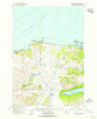
1952 Map of Karluk B-2
USGS Topo · Published 1964About this map
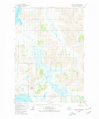
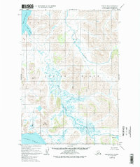
Kodiak Island is defined by its dramatic hydrography and high elevations in this mid-century survey, entirely contained within the Kodiak National Wildlife Refuge. The landscape is dominated by the northward-flowing Sturgeon River and the braided reaches of the Karluk River, which snakes through the central lowlands toward the Shelikof Strait. Significant topographical landmarks include the prominent Anvil Mountain in the southwest and VABM Ridge 1508, providing clear evidence of the island's glaciated terrain. Evidence of human presence is sparse, confined to isolated Cabins near Red Lake in the southeast corner. The transition from the high ridges to the coastal waters of Grant Lagoon and the Pacific Ocean illustrates the environmental diversity of this protected maritime wilderness during the early 1950s.
Find a feature on this map
11 named features on this map. Tap any name to fly to it.
Don’t see what you’re looking for? This feature index may not catch every label — zoom into the map to look around manually.
Map Details
Editions of this 1952 Karluk B-2 Map
3 editions found
Other maps of this area

1951 · Karluk
USGS Topo · 1:250,000

1952 · Karluk
USGS Topo · 1:250,000

1952 · Karluk C-2
USGS Topo · 1:63,360

1952 · Karluk B-1
USGS Topo · 1:63,360

1952 · Karluk C-1
USGS Topo · 1:63,360

1952 · Karluk A-1
USGS Topo · 1:63,360
1952 · Karluk B-3
USGS Topo · 1:63,360

1952 · Karluk A-2
USGS Topo · 1:63,360
1954 · Karluk A-1
USGS Topo · 1:63,360
1954 · Karluk C-1
USGS Topo · 1:63,360