
1952 Map of Karluk C-2
USGS Topo · Published 1964About this map
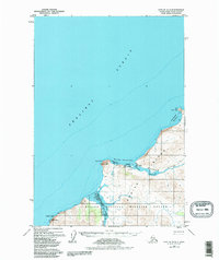
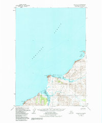
Karluk stands at the northwestern edge of Kodiak Island, where the Karluk River meets the Shelikof Strait. This mid-century survey captures a landscape defined by subsistence and maritime transport, featuring a Seaplane Base and Karluk Anchorage as vital links to the outside world. The settlement's placement near the Karluk Lagoon highlights its strategic position for the regional fishing economy.
Find a feature on this map
16 named features on this map. Tap any name to fly to it.
Don’t see what you’re looking for? This feature index may not catch every label — zoom into the map to look around manually.
Map Details
Editions of this 1952 Karluk C-2 Map
3 editions found
Other maps of this area

1951 · Karluk
USGS Topo · 1:250,000

1952 · Karluk
USGS Topo · 1:250,000

1952 · Karluk B-2
USGS Topo · 1:63,360

1952 · Karluk B-1
USGS Topo · 1:63,360

1952 · Karluk C-1
USGS Topo · 1:63,360
1952 · Karluk B-3
USGS Topo · 1:63,360
1954 · Karluk C-1
USGS Topo · 1:63,360
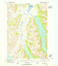
1954 · Karluk B-1
USGS Topo · 1:63,360
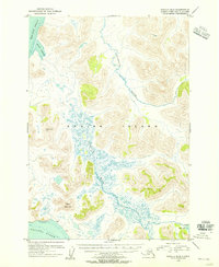
1954 · Karluk B-2
USGS Topo · 1:63,360
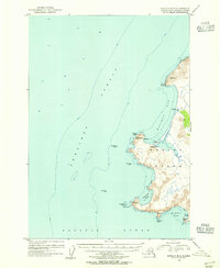
1954 · Karluk B-3
USGS Topo · 1:63,360