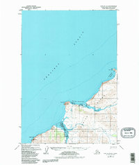
1952 Map of Karluk C-2
USGS Topo · Published 1984About this map
Karluk serves as the primary coastal outpost on this portion of Kodiak Island, situated where the Karluk River meets the Shelikof Strait. The settlement pattern in the early 1950s is defined by its maritime reliance, featuring a Landing Strip, Fuel Tanks, and a Seaplane Anchorage tucked within the protected waters of the Karluk Lagoon. Much of the interior landscape is dedicated to the Kodiak National Wildlife Refuge, reflecting a territory largely untouched by industrial development and focused on conservation. Coastal navigation is guided by landmarks such as the Light at Cape Uyak and the prominent headlands of Cape Karluk and Sturgeon Head. The intricate shoreline, from Tanglefoot Bay to Northeast Harbor, emphasizes the area's role as a critical harbor and fishery hub during the mid-twentieth century.
Find a feature on this map
21 named features on this map. Tap any name to fly to it.
Don’t see what you’re looking for? This feature index may not catch every label — zoom into the map to look around manually.
Map Details
Editions of this 1952 Karluk C-2 Map
3 editions found
Other maps of this area

1951 · Karluk
USGS Topo · 1:250,000

1952 · Karluk
USGS Topo · 1:250,000

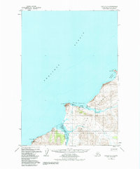
1952 · Karluk C-2
USGS Topo · 1:63,360

1952 · Karluk B-2
USGS Topo · 1:63,360

1952 · Karluk B-1
USGS Topo · 1:63,360

1952 · Karluk C-1
USGS Topo · 1:63,360
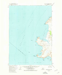
1952 · Karluk B-3
USGS Topo · 1:63,360
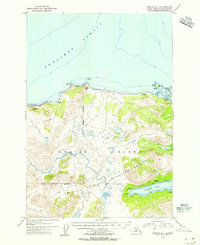
1954 · Karluk C-1
USGS Topo · 1:63,360
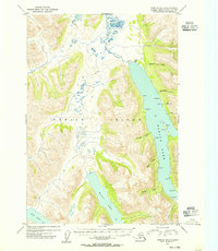
1954 · Karluk B-1
USGS Topo · 1:63,360
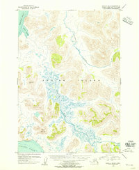
1954 · Karluk B-2
USGS Topo · 1:63,360