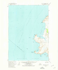
1952 Map of Karluk B-3
USGS Topo · Published 1974About this map
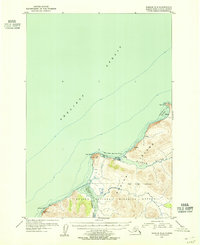
Kodiak Island's western coastline meets the Shelikof Strait in this topographic survey, which documents a landscape largely defined by its maritime exposure and seasonal industry. The shoreline is punctuated by prominent landmarks such as Cape Ikolik and Middle Cape, with a scattered presence of human activity indicated by several isolated Cabin locations and a Cannery at the mouth of Gurney Bay. This era of mapping, based on 1950s aerial photography, reveals the remote character of the Kodiak Island Borough before modern development, where survival and industry were tied directly to the sea. The map also identifies numerous offshore hazards like Tombstone Rocks and Mushroom Reef, highlighting the navigation-heavy nature of this coastal frontier. The interior land, managed as part of the Kodiak National Wildlife Refuge, remains mostly unsurveyed, reflecting the rugged isolation of the territory.
Find a feature on this map
23 named features on this map. Tap any name to fly to it.
Don’t see what you’re looking for? This feature index may not catch every label — zoom into the map to look around manually.
Map Details
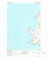
Editions of this 1952 Karluk B-3 Map
2 editions found
Other maps of this area

1951 · Karluk
USGS Topo · 1:250,000

1952 · Karluk
USGS Topo · 1:250,000

1952 · Karluk C-2
USGS Topo · 1:63,360

1952 · Karluk B-2
USGS Topo · 1:63,360

1952 · Karluk A-2
USGS Topo · 1:63,360
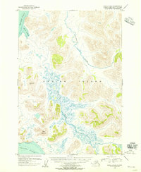
1954 · Karluk B-2
USGS Topo · 1:63,360
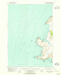
1954 · Karluk B-3
USGS Topo · 1:63,360
1954 · Karluk C-2
USGS Topo · 1:63,360
1954 · Karluk A-2
USGS Topo · 1:63,360

1964 · Karluk
USGS Topo · 1:250,000