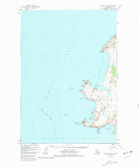
1952 Map of Karluk B-3
USGS Topo · Published 1981About this map
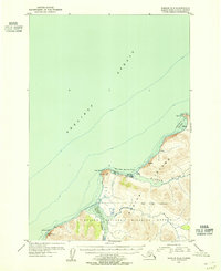
Kodiak Island meets the turbulent waters of the Shelikof Strait in this mid-century survey, documenting a coastline defined by prominent headlands and sheltered bays. The western edge of the Kodiak National Wildlife Refuge dominates the landscape, where peaks like Grant and Ikolik rise sharply from the Pacific. Evidence of the island's coastal economy is visible in the isolated Cannery and various scattered Cabins located near Middle Cape and Halibut Bay. Navigational hazards and landmarks are intricately detailed along the shore, from the jagged Tombstone Rocks to the low-lying Mushroom Reef. This survey captures the maritime and wilderness character of the island before more modern developments, showing the relationship between the rugged topography and the essential shoreline settlements that served the local fishing and hunting culture.
Find a feature on this map
23 named features on this map. Tap any name to fly to it.
Don’t see what you’re looking for? This feature index may not catch every label — zoom into the map to look around manually.
Map Details
Editions of this 1952 Karluk B-3 Map
2 editions found
Other maps of this area

1951 · Karluk
USGS Topo · 1:250,000

1952 · Karluk
USGS Topo · 1:250,000

1952 · Karluk C-2
USGS Topo · 1:63,360

1952 · Karluk B-2
USGS Topo · 1:63,360
1952 · Karluk B-3
USGS Topo · 1:63,360

1952 · Karluk A-2
USGS Topo · 1:63,360
1954 · Karluk B-2
USGS Topo · 1:63,360
1954 · Karluk B-3
USGS Topo · 1:63,360
1954 · Karluk C-2
USGS Topo · 1:63,360
1954 · Karluk A-2
USGS Topo · 1:63,360