
1952 Map of Trinity Islands D-2
USGS Topo · Published 1964About this map
Kodiak Island meets the Pacific Ocean at its southwestern edge in this mid-century topographic record. The landscape is dominated by the Kodiak National Wildlife Refuge, which encompasses the entirety of the land area shown. The shoreline is characterized by the prominent projection of Low Cape and the sheltered waters of Sukhoi Bay. This survey reflects the remote character of the territory in the early 1950s, a time when the region remained devoid of roads or trails. Instead, the map details the intricate drainage patterns and swampy lowlands of the coastal plain, providing a clear view of the natural hydrology before any modern human encroachment. For researchers, it serves as a baseline for the island’s geomorphology, capturing the exact high-water shoreline and tidal range of the era.
Find a feature on this map
5 named features on this map. Tap any name to fly to it.
Don’t see what you’re looking for? This feature index may not catch every label — zoom into the map to look around manually.
Map Details
Editions of this 1952 Trinity Islands D-2 Map
This is the sole edition of this map. No revisions or reprints were ever made.
Other maps of this area

1951 · Trinity Islands
USGS Topo · 1:250,000

1951 · Karluk
USGS Topo · 1:250,000

1952 · Karluk
USGS Topo · 1:250,000

1952 · Trinity Islands D-1
USGS Topo · 1:63,360

1952 · Karluk A-1
USGS Topo · 1:63,360

1952 · Trinity Islands C-1
USGS Topo · 1:63,360

1952 · Karluk A-2
USGS Topo · 1:63,360
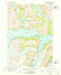
1954 · Karluk A-1
USGS Topo · 1:63,360

1954 · Trinity Islands C-1
USGS Topo · 1:63,360
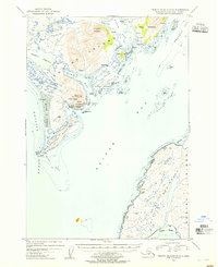
1954 · Trinity Islands D-1
USGS Topo · 1:63,360