
1954 Map of Trinity Islands C-1
USGS Topo · Published 1955About this map
Sitkinak Island and Aiaktalik Island dominate this remote maritime landscape within the Kodiak National Wildlife Refuge. The map documents a transition in local habitation, marking the settlement of Aiaktalik as abandoned by the early 1950s. This community, once situated on the northern coast of its namesake island, overlooks the sheltered waters of Aiaktalik Cove and the broader expanse of Russian Harbor.
Find a feature on this map
22 named features on this map. Tap any name to fly to it.
Don’t see what you’re looking for? This feature index may not catch every label — zoom into the map to look around manually.
Map Details
Editions of this 1954 Trinity Islands C-1 Map
This is the sole edition of this map. No revisions or reprints were ever made.
Other maps of this area

1951 · Kaguyak
USGS Topo · 1:250,000

1951 · Trinity Islands
USGS Topo · 1:250,000

1952 · Kaguyak
USGS Topo · 1:250,000

1952 · Trinity Islands D-2
USGS Topo · 1:63,360

1952 · Trinity Islands D-1
USGS Topo · 1:63,360

1952 · Kaguyak D-6
USGS Topo · 1:63,360

1952 · Trinity Islands C-1
USGS Topo · 1:63,360
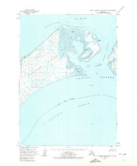
1952 · Trinity Islands B-2 and C-2
USGS Topo · 1:63,360
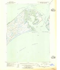
1954 · Trinity Islands B-2 and C-2
USGS Topo · 1:63,360
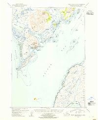
1954 · Trinity Islands D-1
USGS Topo · 1:63,360