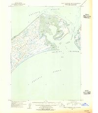
1954 Map of Trinity Islands B-2 and C-2
USGS Topo · Published 1955About this map
Tugidak Island dominates this mid-century maritime study, showcasing the intricate shoreline of the Trinity Islands south of Kodiak. The landscape is defined by massive Tidal Flats that bridge the island's interior, creating a complex network of land and water that shifts with the tides of the Pacific Ocean. A single Cabin located near Shallow Point 2 provides a rare sign of human presence in this maritime environment, while an Exposed Wreck near the northern entrance of Tugidak Passage serves as a reminder of the navigational hazards inherent to these waters. Across the passage, the western edge of Sitkinak Island is visible, featuring landmarks such as Bad Point 2. The survey captures the specialized coastal topography of the era, from the high ground at Red Bluff 2 to the maritime markers at Tugidak East Base.
Find a feature on this map
15 named features on this map. Tap any name to fly to it.
Don’t see what you’re looking for? This feature index may not catch every label — zoom into the map to look around manually.
Map Details
Editions of this 1954 Trinity Islands B-2 and C-2 Map
This is the sole edition of this map. No revisions or reprints were ever made.
Other maps of this area

1951 · Trinity Islands
USGS Topo · 1:250,000

1952 · Trinity Islands B-3 and C-3
USGS Topo · 1:63,360

1952 · Trinity Islands C-1
USGS Topo · 1:63,360
1952 · Trinity Islands B-2 and C-2
USGS Topo · 1:63,360
1953 · Trinity Islands B-3 and C-3
USGS Topo · 1:63,360

1954 · Trinity Islands C-1
USGS Topo · 1:63,360

1954 · Trinity Islands
USGS Topo · 1:250,000
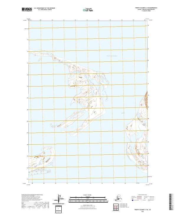
2021 · Trinity Islands C-2 SE
USGS Topo · 1:25,000
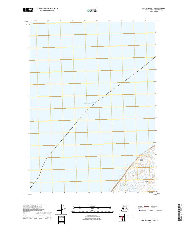
2021 · Trinity Islands C-3 SE
USGS Topo · 1:25,000
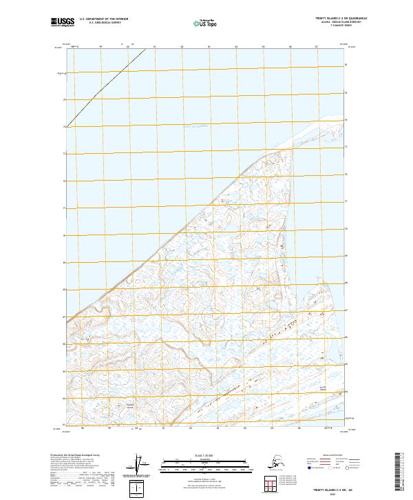
2021 · Trinity Islands C-2 SW
USGS Topo · 1:25,000