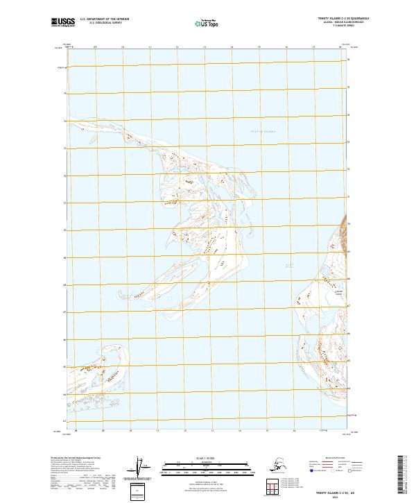
2021 Map of Trinity Islands C-2 SE
USGS Topo · Published 2021About this map
Sitkinak Island and the neighboring coastline define this maritime landscape in the Kodiak Island Borough. This 2021 study documents the shifting sands and intricate wetland networks that characterize the region, showing the delicate separation between land and the open Gulf of Alaska. The narrow waterway of Tugidak Passage serves as a critical geographic divider between these remote landmasses. While the map is dominated by coastal terrain and hydrographic features, it reflects the modern legal and administrative grid through township and range boundaries such as t42s r32w and t41s r33w. The absence of developed roads or settlements highlights the isolation and ecological character of the Trinity Islands group during the early 21st century.
Find a feature on this map
7 named features on this map. Tap any name to fly to it.
Don’t see what you’re looking for? This feature index may not catch every label — zoom into the map to look around manually.
Map Details
Editions of this 2021 Trinity Islands C-2 SE Map
This is the sole edition of this map. No revisions or reprints were ever made.
Other maps of this area

1951 · Trinity Islands
USGS Topo · 1:250,000

1952 · Trinity Islands C-1
USGS Topo · 1:63,360
1952 · Trinity Islands B-2 and C-2
USGS Topo · 1:63,360

1954 · Trinity Islands C-1
USGS Topo · 1:63,360
1954 · Trinity Islands B-2 and C-2
USGS Topo · 1:63,360

1954 · Trinity Islands
USGS Topo · 1:250,000
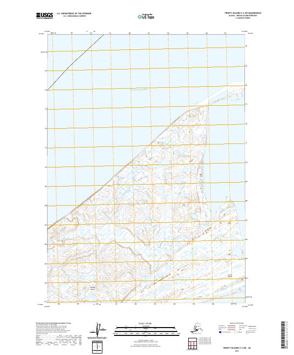
2021 · Trinity Islands C-2 SW
USGS Topo · 1:25,000
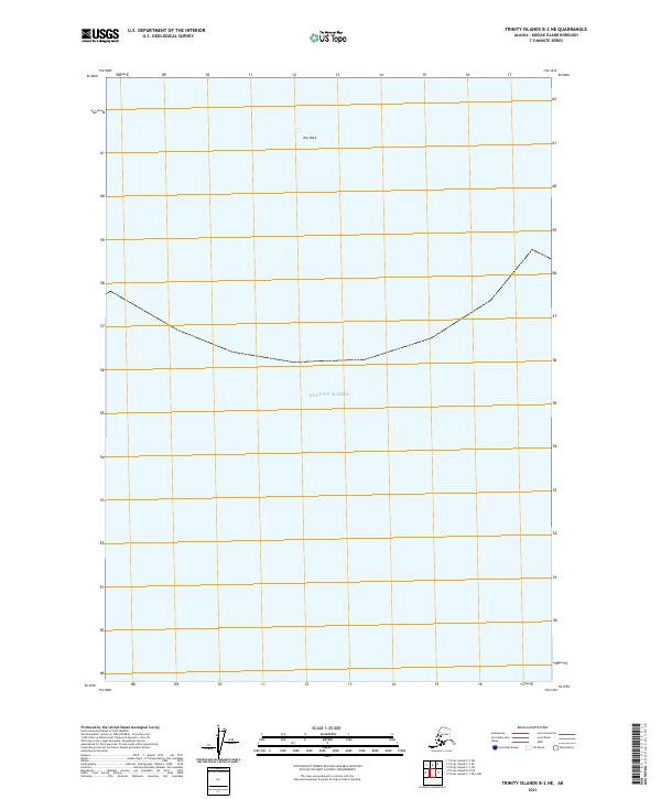
2021 · Trinity Islands B-2 NE
USGS Topo · 1:25,000
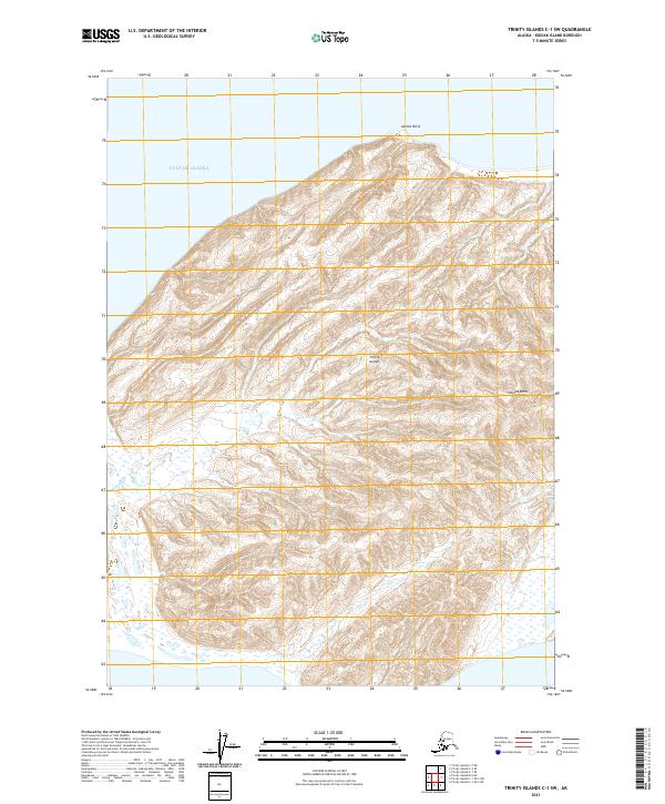
2021 · Trinity Islands C-1 SW
USGS Topo · 1:25,000
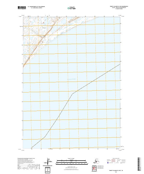
2021 · Trinity Islands B-2 NW
USGS Topo · 1:25,000