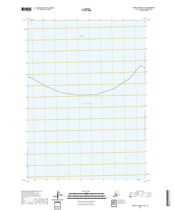
2021 Map of Trinity Islands B-2 NE
USGS Topo · Published 2021About this map
The Gulf of Alaska dominates this maritime survey in the Kodiak Island Borough, capturing a vast expanse of open water and the remote seafloor southeast of the Trinity Islands. Most of the map area is submerged, with only a singular named topographical feature, Dry Rock, located in the northern portion of the sheet. This specific location at the edge of the continental shelf illustrates the navigational hazards of these North Pacific waters. Modern Public Land Survey System divisions, such as t42s r33w and t42s r32w, extend into the gulf, providing a grid-based reference for maritime boundaries and resource management in this isolated maritime environment.
Find a feature on this map
4 named features on this map. Tap any name to fly to it.
Don’t see what you’re looking for? This feature index may not catch every label — zoom into the map to look around manually.
Map Details
Editions of this 2021 Trinity Islands B-2 NE Map
This is the sole edition of this map. No revisions or reprints were ever made.
Other maps of this area

1951 · Trinity Islands
USGS Topo · 1:250,000

1952 · Trinity Islands C-1
USGS Topo · 1:63,360
1952 · Trinity Islands B-2 and C-2
USGS Topo · 1:63,360

1954 · Trinity Islands C-1
USGS Topo · 1:63,360
1954 · Trinity Islands B-2 and C-2
USGS Topo · 1:63,360

1954 · Trinity Islands
USGS Topo · 1:250,000
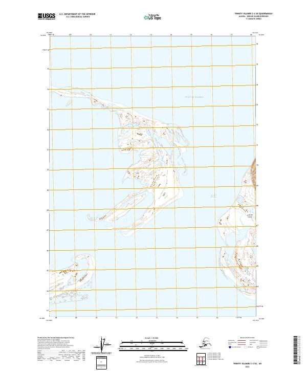
2021 · Trinity Islands C-2 SE
USGS Topo · 1:25,000
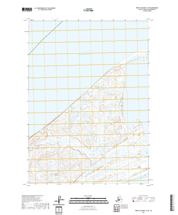
2021 · Trinity Islands C-2 SW
USGS Topo · 1:25,000
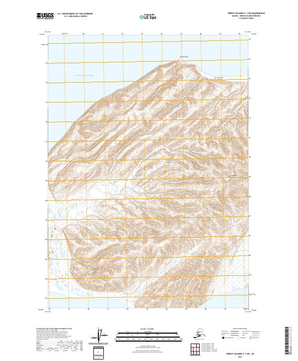
2021 · Trinity Islands C-1 SW
USGS Topo · 1:25,000
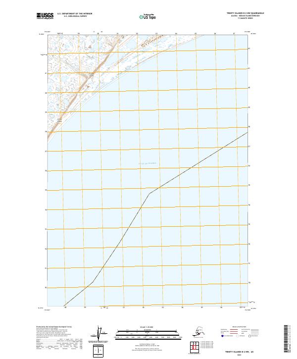
2021 · Trinity Islands B-2 NW
USGS Topo · 1:25,000