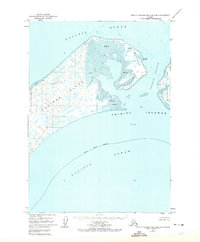
1952 Map of Trinity Islands B-2 and C-2
USGS Topo · Published 1974About this map
Tugidak Island dominates this mid-century hydrographic and topographic study of the Trinity Islands in the Kodiak Island Borough. The landscape is characterized by its dynamic coastal features, including an extensive central Tidal Flat and the dangerous waters of Tugidak Passage. A lone Cabin on the southern shoreline and the Tugidak East Base station on the northern tip are the only markers of human presence, hinting at the remote nature of these islands in the early 1950s.
Find a feature on this map
15 named features on this map. Tap any name to fly to it.
Don’t see what you’re looking for? This feature index may not catch every label — zoom into the map to look around manually.
Map Details
Editions of this 1952 Trinity Islands B-2 and C-2 Map
2 editions found
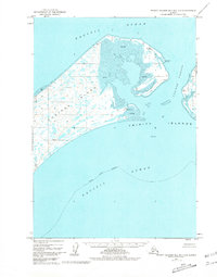
Other maps of this area

1951 · Trinity Islands
USGS Topo · 1:250,000

1952 · Trinity Islands B-3 and C-3
USGS Topo · 1:63,360

1952 · Trinity Islands C-1
USGS Topo · 1:63,360
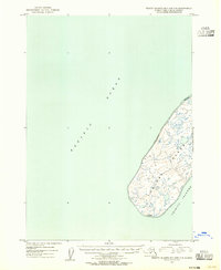
1953 · Trinity Islands B-3 and C-3
USGS Topo · 1:63,360

1954 · Trinity Islands C-1
USGS Topo · 1:63,360
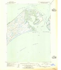
1954 · Trinity Islands B-2 and C-2
USGS Topo · 1:63,360

1954 · Trinity Islands
USGS Topo · 1:250,000
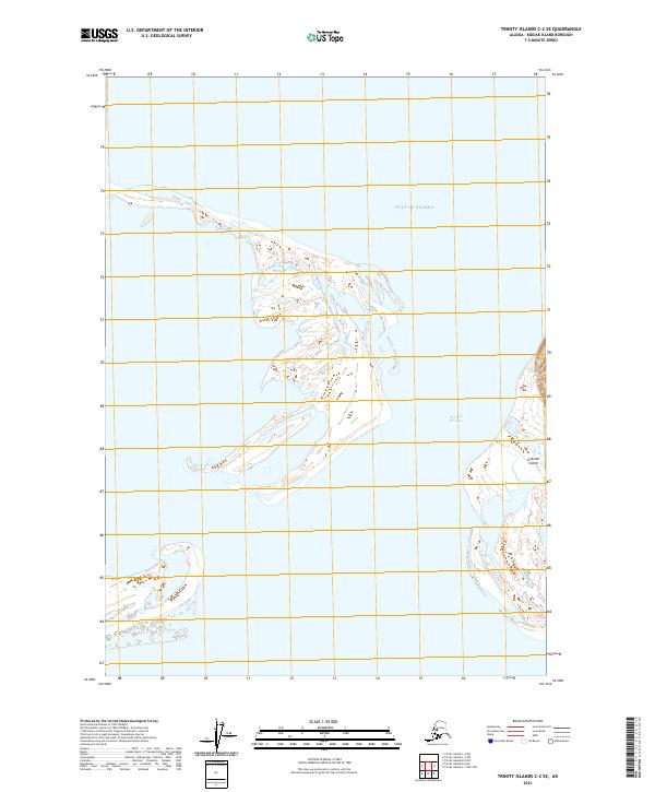
2021 · Trinity Islands C-2 SE
USGS Topo · 1:25,000
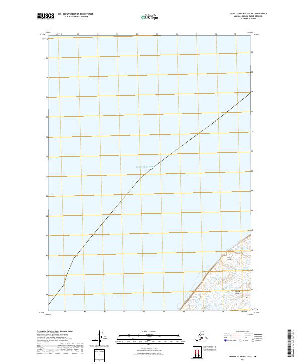
2021 · Trinity Islands C-3 SE
USGS Topo · 1:25,000
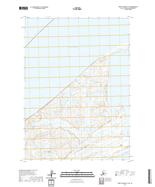
2021 · Trinity Islands C-2 SW
USGS Topo · 1:25,000