
1952 Map of Trinity Islands B-3 and C-3
USGS Topo · Published 1974About this map
Tugidak Island occupies the southeastern portion of this survey, part of the larger Trinity Islands archipelago in the Pacific Ocean. This remote maritime landscape is characterized by a high concentration of small lakes and ponds scattered across the low-lying terrain. Human presence is sparse, indicated primarily by isolated Cabins located along the shoreline. The northern reach of the island is defined by an expansive Tidal Flat, illustrating the dynamic coastal environment of the Kodiak Island Borough. Mapping of this area relied on 1952 aerial photography and USC&GS hydrographic data, providing a specialized record of the shoreline and interior topography before later environmental shifts.
Find a feature on this map
7 named features on this map. Tap any name to fly to it.
Don’t see what you’re looking for? This feature index may not catch every label — zoom into the map to look around manually.
Map Details
Editions of this 1952 Trinity Islands B-3 and C-3 Map
This is the sole edition of this map. No revisions or reprints were ever made.
Other maps of this area

1951 · Trinity Islands
USGS Topo · 1:250,000
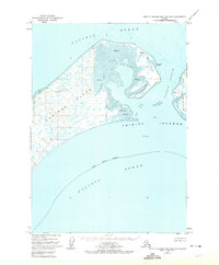
1952 · Trinity Islands B-2 and C-2
USGS Topo · 1:63,360
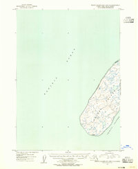
1953 · Trinity Islands B-3 and C-3
USGS Topo · 1:63,360
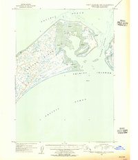
1954 · Trinity Islands B-2 and C-2
USGS Topo · 1:63,360

1954 · Trinity Islands
USGS Topo · 1:250,000
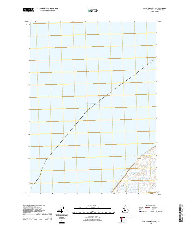
2021 · Trinity Islands C-3 SE
USGS Topo · 1:25,000
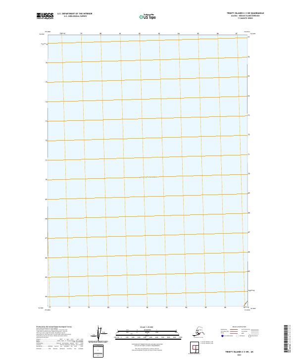
2021 · Trinity Islands C-3 SW
USGS Topo · 1:25,000
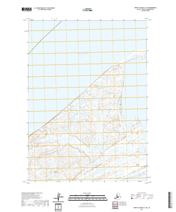
2021 · Trinity Islands C-2 SW
USGS Topo · 1:25,000
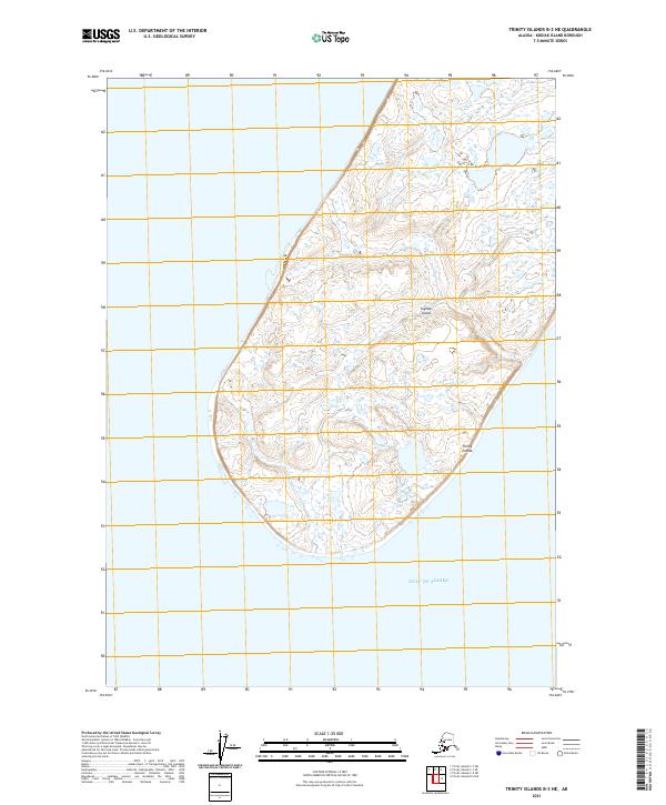
2021 · Trinity Islands B-3 NE
USGS Topo · 1:25,000
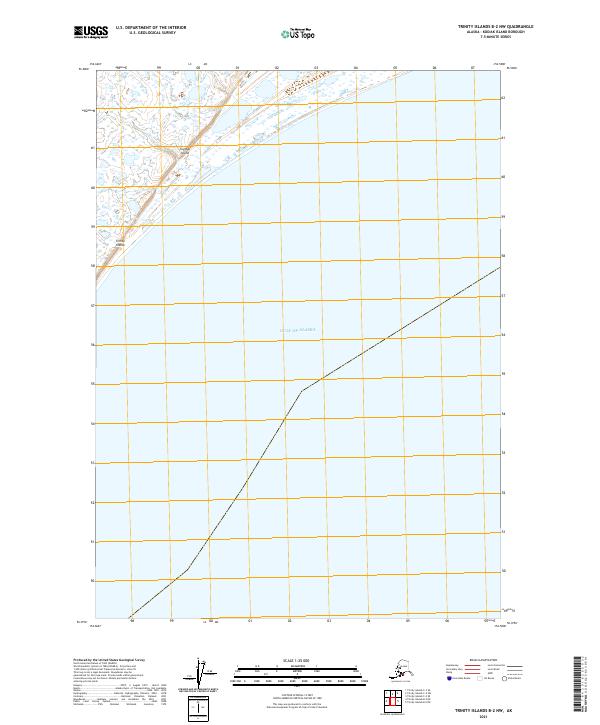
2021 · Trinity Islands B-2 NW
USGS Topo · 1:25,000