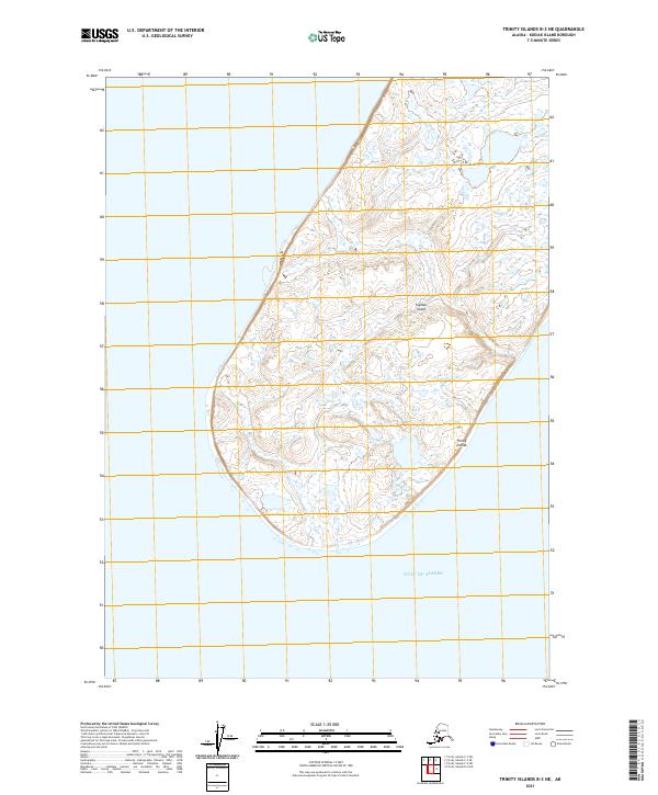
2021 Map of Trinity Islands B-3 NE
USGS Topo · Published 2021About this map
Tugidak Island occupies the center of this maritime survey, forming part of the larger Trinity Islands group south of the Kodiak archipelago. The terrain is characterized by a dense network of wetlands and small water bodies that dominate the island's low-lying interior. Bordered by the Gulf of Alaska, the coastline is a complex boundary of shifting sands and tidal flats. The 2021 survey data provides a high-resolution view of this isolated landscape, where the Public Land Survey System grids—including t43s r35w and t42s r35w—impose a geometric order over the irregular, water-soaked geography of the island.
Find a feature on this map
7 named features on this map. Tap any name to fly to it.
Don’t see what you’re looking for? This feature index may not catch every label — zoom into the map to look around manually.
Map Details
Editions of this 2021 Trinity Islands B-3 NE Map
This is the sole edition of this map. No revisions or reprints were ever made.
Other maps of this area

1951 · Trinity Islands
USGS Topo · 1:250,000

1952 · Trinity Islands B-3 and C-3
USGS Topo · 1:63,360
1952 · Trinity Islands B-2 and C-2
USGS Topo · 1:63,360
1953 · Trinity Islands B-3 and C-3
USGS Topo · 1:63,360
1954 · Trinity Islands B-2 and C-2
USGS Topo · 1:63,360

1954 · Trinity Islands
USGS Topo · 1:250,000
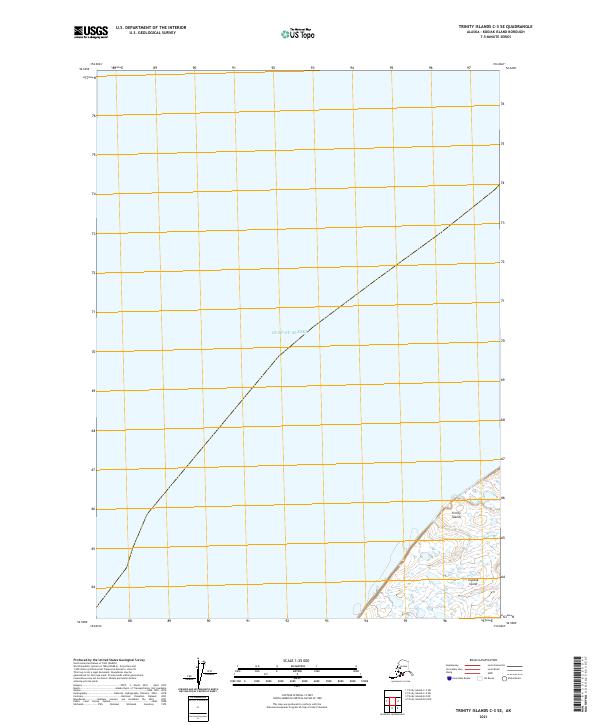
2021 · Trinity Islands C-3 SE
USGS Topo · 1:25,000
2021 · Trinity Islands C-3 SW
USGS Topo · 1:25,000
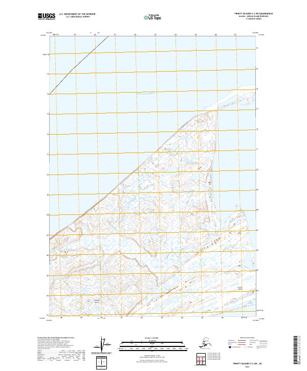
2021 · Trinity Islands C-2 SW
USGS Topo · 1:25,000
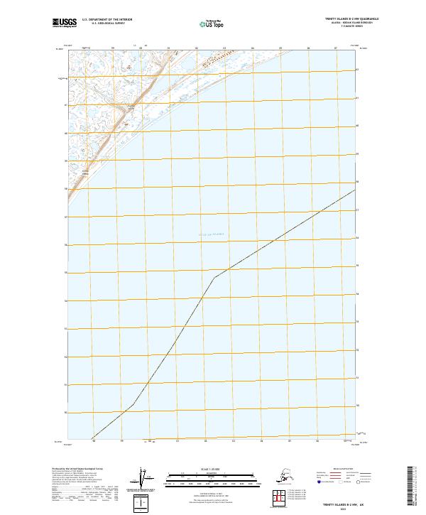
2021 · Trinity Islands B-2 NW
USGS Topo · 1:25,000