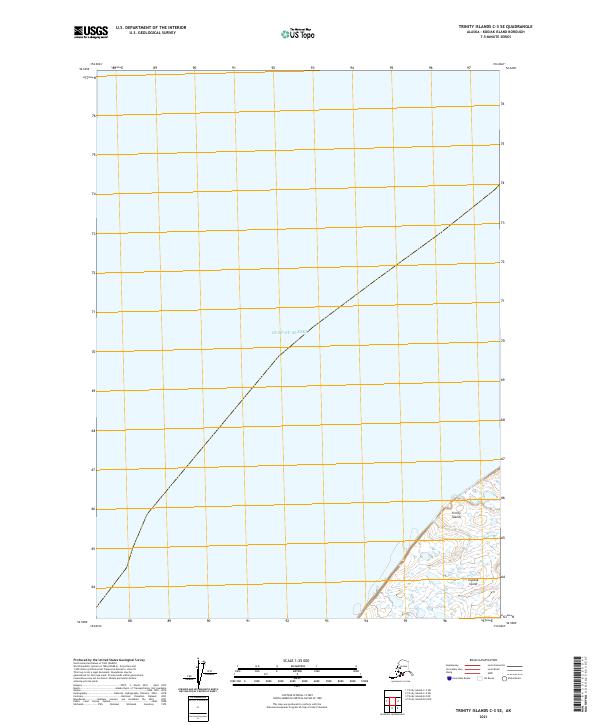
2021 Map of Trinity Islands C-3 SE
USGS Topo · Published 2021About this map
Tugidak Island, part of the larger Trinity Islands archipelago, occupies the southeastern corner of this maritime-focused survey in the Gulf of Alaska. The landscape is dominated by the vast expanse of the open ocean, which covers nearly the entire map area, with the landmass of the island providing the only topographical relief. Detailed bathymetric or maritime boundaries are indicated by the inclusion of the t42s r35w township designation, anchoring this remote coastal region within the Public Land Survey System. The map illustrates the shoreline of the island where it meets the sea, capturing the isolate and shifting environment of the Kodiak Island Borough at the start of the 2020s.
Find a feature on this map
4 named features on this map. Tap any name to fly to it.
Don’t see what you’re looking for? This feature index may not catch every label — zoom into the map to look around manually.
Map Details
Editions of this 2021 Trinity Islands C-3 SE Map
This is the sole edition of this map. No revisions or reprints were ever made.
Other maps of this area

1951 · Trinity Islands
USGS Topo · 1:250,000

1952 · Trinity Islands B-3 and C-3
USGS Topo · 1:63,360
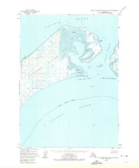
1952 · Trinity Islands B-2 and C-2
USGS Topo · 1:63,360
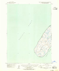
1953 · Trinity Islands B-3 and C-3
USGS Topo · 1:63,360
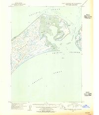
1954 · Trinity Islands B-2 and C-2
USGS Topo · 1:63,360

1954 · Trinity Islands
USGS Topo · 1:250,000
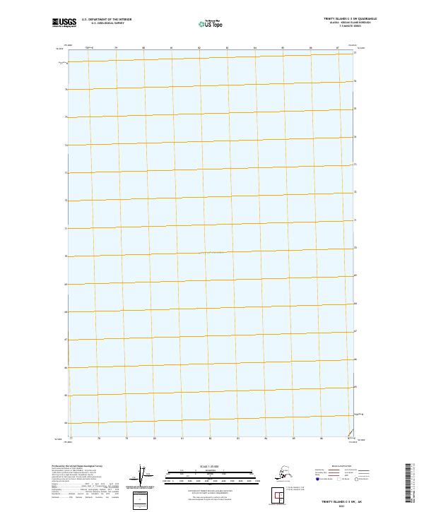
2021 · Trinity Islands C-3 SW
USGS Topo · 1:25,000
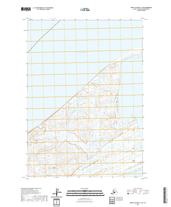
2021 · Trinity Islands C-2 SW
USGS Topo · 1:25,000
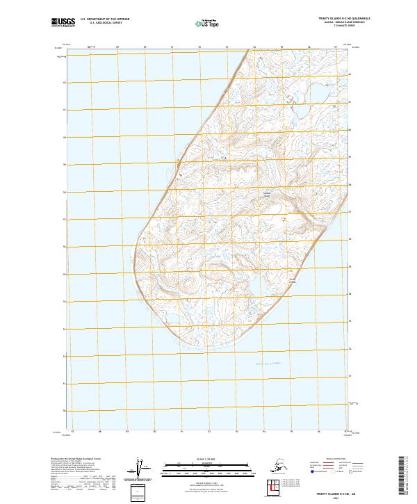
2021 · Trinity Islands B-3 NE
USGS Topo · 1:25,000
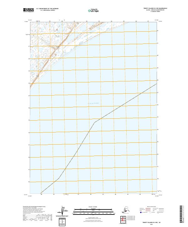
2021 · Trinity Islands B-2 NW
USGS Topo · 1:25,000