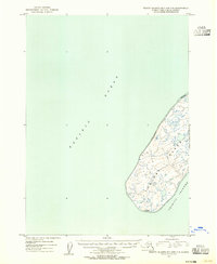
1953 Map of Trinity Islands B-3 and C-3
USGS Topo · Published 1955About this map
Tugidak Island stands isolated in the Pacific Ocean at the southwestern edge of the Trinity Islands archipelago. This 1953 survey, compiled from aerial photography and hydrographic charts, reveals a landscape dominated by low-lying terrain and an intricate network of small interior ponds. The coastline is defined by a significant Tidal Flat on the northeast shore, suggesting a dynamic environment of shifting sands and tide-driven change. Evidence of human presence is sparse but distinct, marked only by a small cluster of Cabins on the southern coast. These structures likely served as seasonal shelter for hunters or fishermen in this maritime environment, providing a rare inland reference point on an otherwise remote island profile.
Find a feature on this map
5 named features on this map. Tap any name to fly to it.
Don’t see what you’re looking for? This feature index may not catch every label — zoom into the map to look around manually.
Map Details
Editions of this 1953 Trinity Islands B-3 and C-3 Map
This is the sole edition of this map. No revisions or reprints were ever made.
Other maps of this area

1951 · Trinity Islands
USGS Topo · 1:250,000

1952 · Trinity Islands B-3 and C-3
USGS Topo · 1:63,360
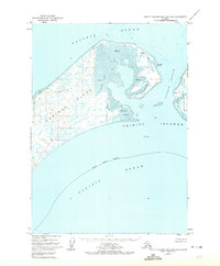
1952 · Trinity Islands B-2 and C-2
USGS Topo · 1:63,360
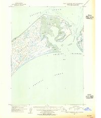
1954 · Trinity Islands B-2 and C-2
USGS Topo · 1:63,360

1954 · Trinity Islands
USGS Topo · 1:250,000
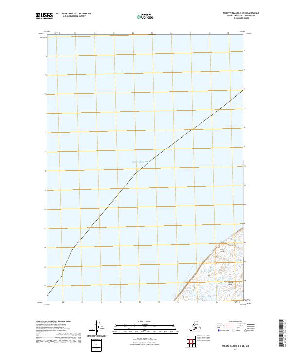
2021 · Trinity Islands C-3 SE
USGS Topo · 1:25,000
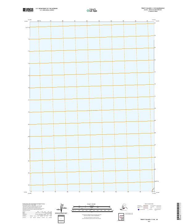
2021 · Trinity Islands C-3 SW
USGS Topo · 1:25,000
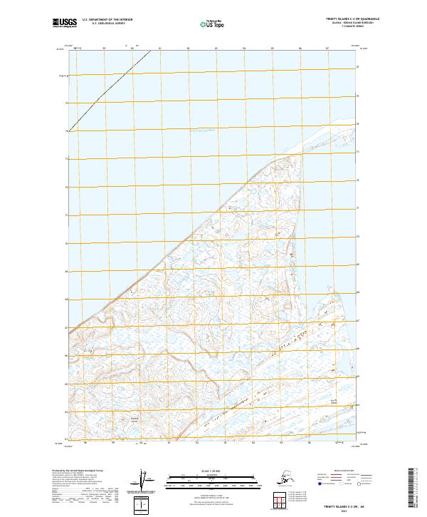
2021 · Trinity Islands C-2 SW
USGS Topo · 1:25,000
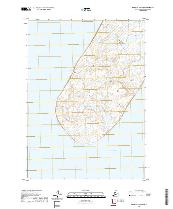
2021 · Trinity Islands B-3 NE
USGS Topo · 1:25,000
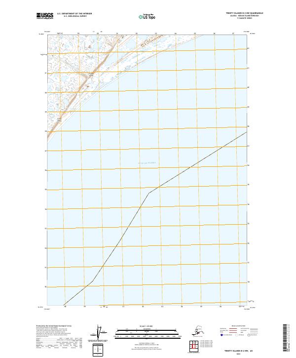
2021 · Trinity Islands B-2 NW
USGS Topo · 1:25,000