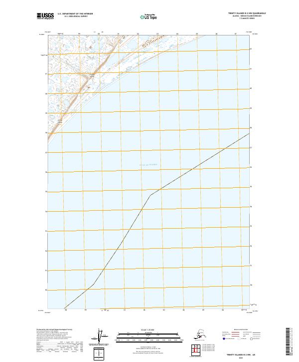
2021 Map of Trinity Islands B-2 NW
USGS Topo · Published 2021About this map
Tugidak Island, part of the southern Trinity Islands chain, occupies the northwestern corner of this maritime survey. The landscape here is characterized by low-lying coastal terrain and an intricate network of wetlands and small ponds, illustrating the transition between the island interior and the vast Gulf of Alaska that dominates the remainder of the quadrangle. This 2021 update, produced by the U.S. Geological Survey, utilizes high-resolution imagery and hydrography data to map the subtle shifts in the shoreline and inland water bodies. The lack of infrastructure or settlements on this portion of the island emphasizes the isolated, natural character of these outer coastal reaches south of the Kodiak archipelago, where the Public Land Survey System grids continue even into the open sea.
Find a feature on this map
9 named features on this map. Tap any name to fly to it.
Don’t see what you’re looking for? This feature index may not catch every label — zoom into the map to look around manually.
Map Details
Editions of this 2021 Trinity Islands B-2 NW Map
This is the sole edition of this map. No revisions or reprints were ever made.
Other maps of this area

1951 · Trinity Islands
USGS Topo · 1:250,000

1952 · Trinity Islands B-3 and C-3
USGS Topo · 1:63,360
1952 · Trinity Islands B-2 and C-2
USGS Topo · 1:63,360
1953 · Trinity Islands B-3 and C-3
USGS Topo · 1:63,360
1954 · Trinity Islands B-2 and C-2
USGS Topo · 1:63,360

1954 · Trinity Islands
USGS Topo · 1:250,000
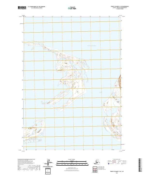
2021 · Trinity Islands C-2 SE
USGS Topo · 1:25,000
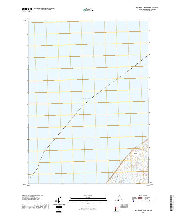
2021 · Trinity Islands C-3 SE
USGS Topo · 1:25,000
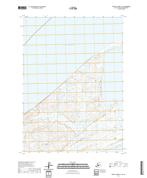
2021 · Trinity Islands C-2 SW
USGS Topo · 1:25,000
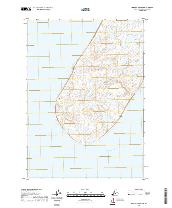
2021 · Trinity Islands B-3 NE
USGS Topo · 1:25,000