2021 Map of Trinity Islands C-3 SW
USGS Topo · Published 2021About this map
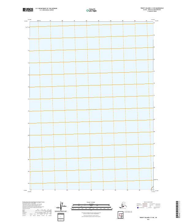
The Gulf of Alaska fills this entire maritime quadrangle in the Trinity Islands region, illustrating a purely nautical environment south of Kodiak Island. Published by the U.S. Geological Survey as part of the modern US Topo series, the sheet covers open water with no terrestrial landforms or human settlements present. While many topographic surveys detail the complex coastlines and rugged elevations of Alaska's archipelago, this specific chart serves as a spatial placeholder for the sea lanes and maritime boundaries of the North Pacific. The absence of contour lines is due to the lack of elevation data meeting national accuracy requirements for the seafloor in this specific grid, emphasizing the deep-water character of the area.
Find a feature on this map
1 named feature on this map. Tap any name to fly to it.
Don’t see what you’re looking for? This feature index may not catch every label — zoom into the map to look around manually.
Map Details
Editions of this 2021 Trinity Islands C-3 SW Map
This is the sole edition of this map. No revisions or reprints were ever made.