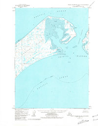
1952 Map of Trinity Islands B-2 and C-2
USGS Topo · Published 1981About this map
Tugidak Island dominates this 1952 chart, showing a low-lying landscape defined by intricate tidal flats and scattered lagoons. Located within the Kodiak Island Borough, the island's coastline is marked by navigationally significant landmarks like Red Bluff and Shallow Point. The interior is sparsely developed, with a solitary Cabin and the Tugidak East Base survey point representing the only human footprint in this corner of the Trinity Islands.
Find a feature on this map
18 named features on this map. Tap any name to fly to it.
Don’t see what you’re looking for? This feature index may not catch every label — zoom into the map to look around manually.
Map Details
Editions of this 1952 Trinity Islands B-2 and C-2 Map
2 editions found
Other maps of this area

1951 · Trinity Islands
USGS Topo · 1:250,000

1952 · Trinity Islands B-3 and C-3
USGS Topo · 1:63,360

1952 · Trinity Islands C-1
USGS Topo · 1:63,360
1952 · Trinity Islands B-2 and C-2
USGS Topo · 1:63,360
1953 · Trinity Islands B-3 and C-3
USGS Topo · 1:63,360

1954 · Trinity Islands C-1
USGS Topo · 1:63,360
1954 · Trinity Islands B-2 and C-2
USGS Topo · 1:63,360

1954 · Trinity Islands
USGS Topo · 1:250,000
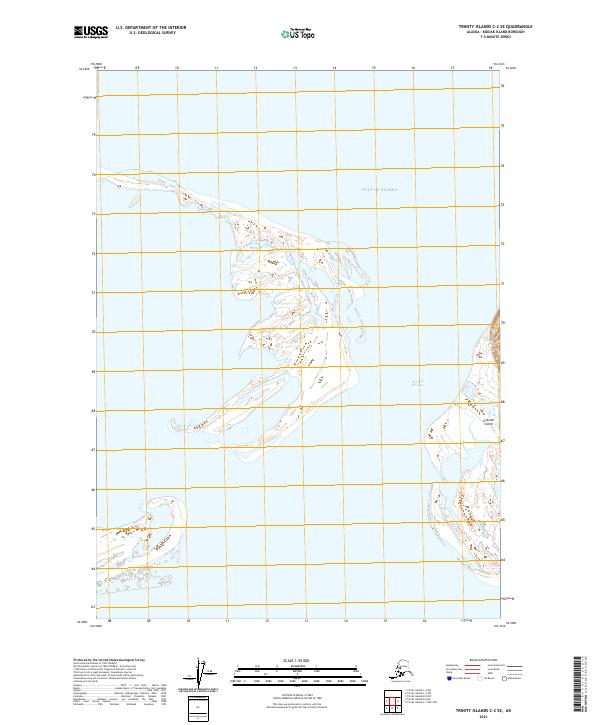
2021 · Trinity Islands C-2 SE
USGS Topo · 1:25,000
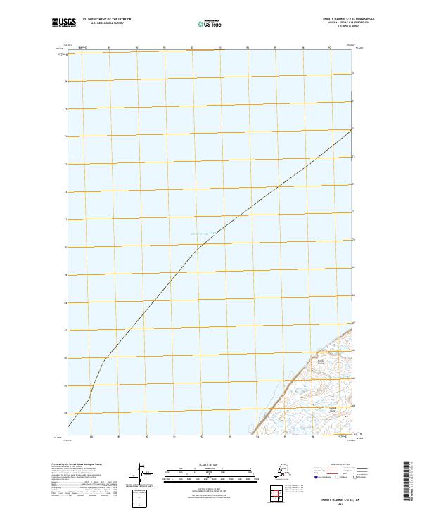
2021 · Trinity Islands C-3 SE
USGS Topo · 1:25,000