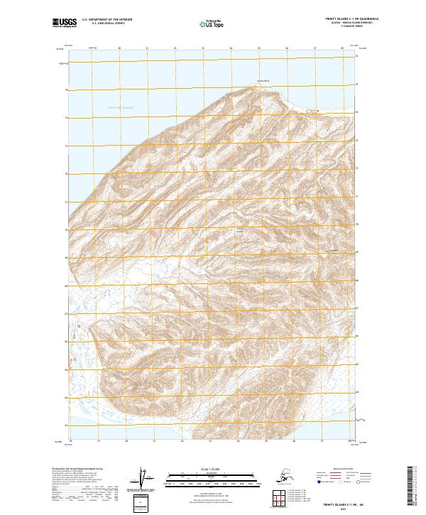
2021 Map of Trinity Islands C-1 SW
USGS Topo · Published 2021About this map
Trinity Islands emerge from the Gulf of Alaska in this remote maritime landscape south of Kodiak. The island terrain is defined by dramatic coastal elevations, most notably the high point at Sitkinak Dome and the northern protrusion of Delina Point. These landforms reflect the geomorphology of the archipelago, where steep contours rise directly from the sea. While human settlements are absent from this particular sheet, the mapping of township boundaries like t41s r32w and t42s r31w illustrates the systematic partitioning of the Alaskan wilderness for administrative and public land records.
Find a feature on this map
8 named features on this map. Tap any name to fly to it.
Don’t see what you’re looking for? This feature index may not catch every label — zoom into the map to look around manually.
Map Details
Editions of this 2021 Trinity Islands C-1 SW Map
This is the sole edition of this map. No revisions or reprints were ever made.
Other maps of this area

1951 · Trinity Islands
USGS Topo · 1:250,000

1952 · Trinity Islands C-1
USGS Topo · 1:63,360
1952 · Trinity Islands B-2 and C-2
USGS Topo · 1:63,360

1954 · Trinity Islands C-1
USGS Topo · 1:63,360
1954 · Trinity Islands B-2 and C-2
USGS Topo · 1:63,360

1954 · Trinity Islands
USGS Topo · 1:250,000
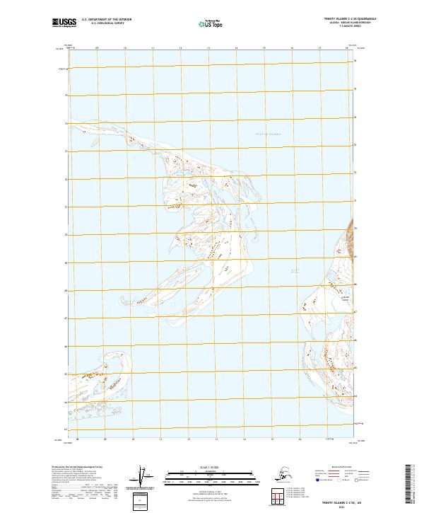
2021 · Trinity Islands C-2 SE
USGS Topo · 1:25,000
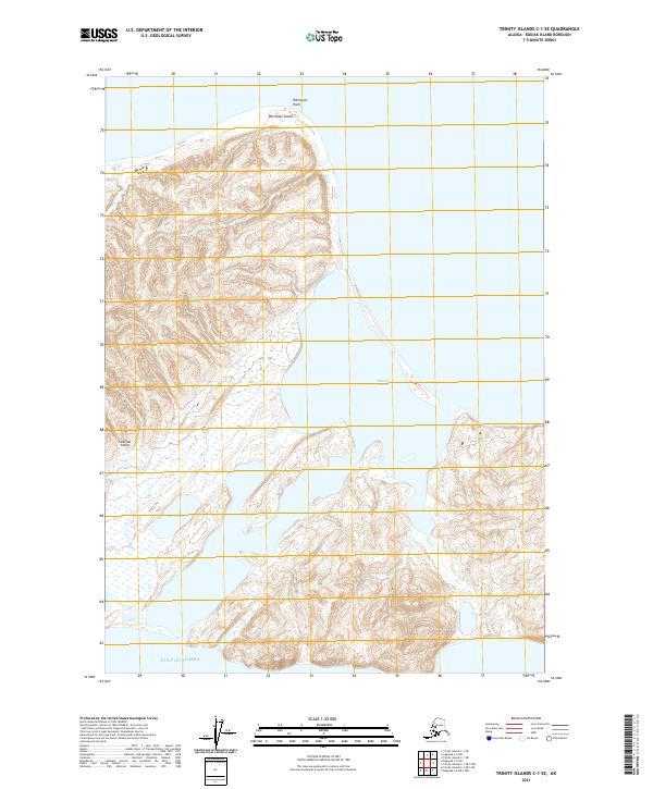
2021 · Trinity Islands C-1 SE
USGS Topo · 1:25,000
2021 · Trinity Islands B-2 NE
USGS Topo · 1:25,000
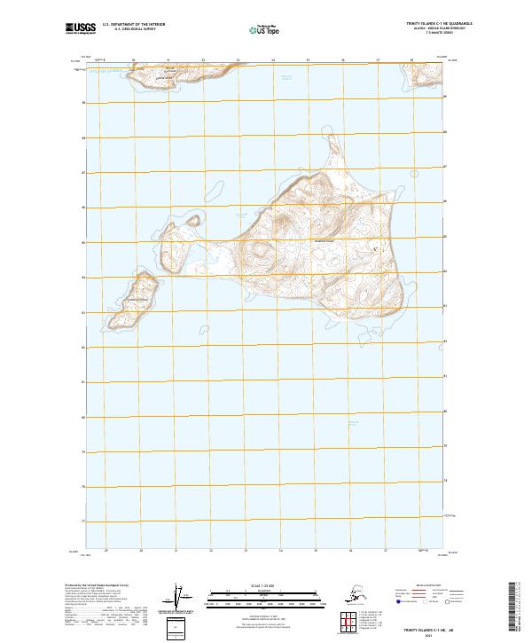
2021 · Trinity Islands C-1 NE
USGS Topo · 1:25,000