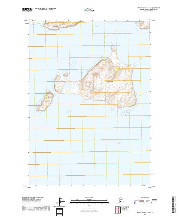
2021 Map of Trinity Islands C-1 NE
USGS Topo · Published 2021About this map
Aiaktalik Island and the neighboring Sundstrom Island occupy the center of this maritime study, situated south of the Aliulik Peninsula at the southern tip of Kodiak Island. The geography is defined by the high-latitude coastal features of the Gulf of Alaska, including the protected waters of Aiaktalik Cove and the northern entrance to Sitkinak Strait. To the north, the land curves into Cape Trinity, framing the entrance to Russian Harbor. This 2021 topographic survey provides a precise look at the landforms and shoreline of these isolated islands before any significant modernization or development, focusing on the natural contours and the relationship between the rugged archipelagos and the surrounding cold-water straits.
Find a feature on this map
14 named features on this map. Tap any name to fly to it.
Don’t see what you’re looking for? This feature index may not catch every label — zoom into the map to look around manually.
Map Details
Editions of this 2021 Trinity Islands C-1 NE Map
This is the sole edition of this map. No revisions or reprints were ever made.
Other maps of this area

1951 · Kaguyak
USGS Topo · 1:250,000

1951 · Trinity Islands
USGS Topo · 1:250,000

1952 · Kaguyak
USGS Topo · 1:250,000

1952 · Trinity Islands D-1
USGS Topo · 1:63,360

1952 · Kaguyak D-6
USGS Topo · 1:63,360

1952 · Trinity Islands C-1
USGS Topo · 1:63,360

1954 · Trinity Islands C-1
USGS Topo · 1:63,360
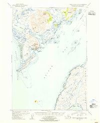
1954 · Trinity Islands D-1
USGS Topo · 1:63,360
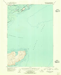
1954 · Kaguyak C-6
USGS Topo · 1:63,360
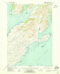
1954 · Kaguyak D-6
USGS Topo · 1:63,360